
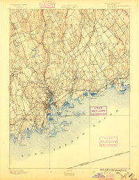
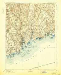
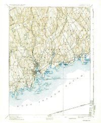
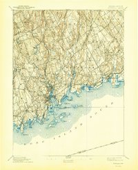
1893 Map of Norwalk
USGS Topo · Published 1893About this map
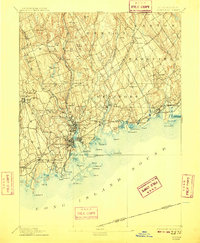
Norwalk and its surrounding coastal townships are depicted here during a period of significant late-nineteenth-century industrial and transit growth. The map illustrates the convergence of rail and maritime activity, with the New York and New Haven and Hartford R. R. skirting the shoreline while the Danbury and Norwalk R.R. extends northward through Winnipauk and Cannon. The transition from the dense urban centers of South Norwalk and East Norwalk to the inland agricultural ridges is clear, as family names like Sturgis Ridge and Grumman Hill mark the upland landscape.
Find a feature on this map
88 named features on this map. Tap any name to fly to it.
Don’t see what you’re looking for? This feature index may not catch every label — zoom into the map to look around manually.
Map Details
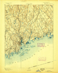
Editions of this 1893 Norwalk Map
12 editions found
1893 edition
16.7 x 19.7 inches
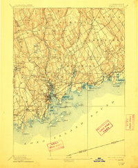
1896 edition
15.3 x 19.8 inches
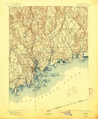
1898 edition
15.9 x 20.2 inches
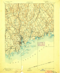
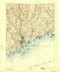
1903 edition
16.3 x 19.7 inches
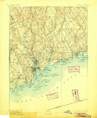
1906 edition
16.4 x 20 inches
1909 edition
16.4 x 19.9 inches
1912 edition
16.4 x 19.9 inches
1913 edition
16.4 x 19.9 inches
1924 edition
16.4 x 19.9 inches
1930 edition
16.4 x 19.9 inches
1937 edition
16.4 x 19.9 inches
1944 edition
16.4 x 20.3 inches
Other maps of this area

1889 · Derby
USGS Topo · 1:62,500

1891 · Bridgeport
USGS Topo · 1:62,500

1891 · Derby
USGS Topo · 1:62,500

1892 · Stamford
USGS Topo · 1:62,500

1892 · Danbury
USGS Topo · 1:62,500

1892 · Norwalk
USGS Topo · 1:62,500

1892 · Carmel
USGS Topo · 1:62,500

1893 · Carmel
USGS Topo · 1:62,500

1893 · Bridgeport
USGS Topo · 1:62,500

1893 · Stamford
USGS Topo · 1:62,500