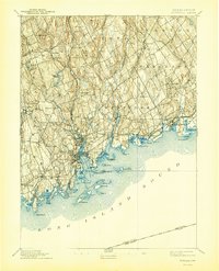
1893 Map of Norwalk
USGS Topo · Published 1944About this map
Coastal settlements along Long Island Sound define this late 19th-century landscape, where the New York New Haven and Hartford RR provides the primary industrial spine connecting maritime hubs. The dense urban centers of Norwalk and South Norwalk contrast with the rural, hilly interior to the north, including landmarks like Devils Den and Honey Hill. The intricate shoreline is punctuated by numerous points and harbors, from Scott Cove to Pine Creek Pt., while the Norwalk Islands—including Sheffield Id. and Cockenoe Id.—shield the mainland. The drainage patterns of the Saugatuck River and Norwalk River illustrate the historic water power and transportation routes that shaped towns like Westport and Wilton before the heavy suburbanization of the 20th century.
Find a feature on this map
89 named features on this map. Tap any name to fly to it.
Don’t see what you’re looking for? This feature index may not catch every label — zoom into the map to look around manually.
Map Details
Editions of this 1893 Norwalk Map
12 editions found

1893 edition
16.7 x 19.7 inches
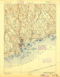
1896 edition
15.3 x 19.8 inches
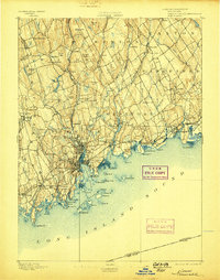
1898 edition
15.9 x 20.2 inches
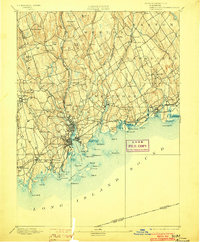
1903 edition
16.3 x 19.7 inches
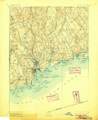
1906 edition
16.4 x 20 inches
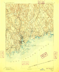
1909 edition
16.4 x 19.9 inches
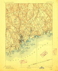
1912 edition
16.4 x 19.9 inches
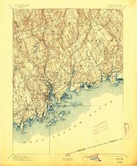
1913 edition
16.4 x 19.9 inches
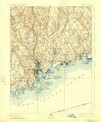
1924 edition
16.4 x 19.9 inches
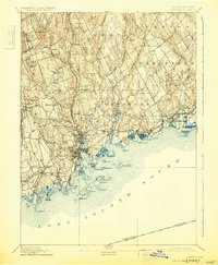
1930 edition
16.4 x 19.9 inches
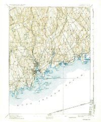
1937 edition
16.4 x 19.9 inches
1944 edition
16.4 x 20.3 inches
Other maps of this area

1889 · Derby
USGS Topo · 1:62,500

1891 · Bridgeport
USGS Topo · 1:62,500

1891 · Derby
USGS Topo · 1:62,500

1892 · Stamford
USGS Topo · 1:62,500

1892 · Danbury
USGS Topo · 1:62,500

1892 · Norwalk
USGS Topo · 1:62,500

1892 · Carmel
USGS Topo · 1:62,500

1893 · Carmel
USGS Topo · 1:62,500

1893 · Bridgeport
USGS Topo · 1:62,500

1893 · Stamford
USGS Topo · 1:62,500