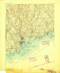
1893 Map of Norwalk
USGS Topo · Published 1906About this map
The Norwalk River and Saugatuck River define the coastal landscape of Fairfield County in this late 19th-century survey. Industrial and residential clusters are centered around Norwalk, South Norwalk, and Westport, where the Danbury and Norwalk RR and Housatonic RR facilitate regional commerce. Beyond the urban centers, the terrain transitions into the upland ridges of Chestnut Hill and Grumman Hill, with smaller outlying settlements like Lyon Plain and Greenfield Hill maintaining an agrarian character.
Find a feature on this map
92 named features on this map. Tap any name to fly to it.
Don’t see what you’re looking for? This feature index may not catch every label — zoom into the map to look around manually.
Map Details
Editions of this 1893 Norwalk Map
12 editions found

1893 edition
16.7 x 19.7 inches
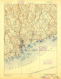
1896 edition
15.3 x 19.8 inches
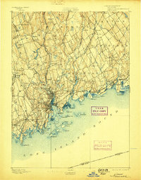
1898 edition
15.9 x 20.2 inches
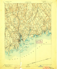
1903 edition
16.3 x 19.7 inches
1906 edition
16.4 x 20 inches
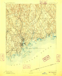
1909 edition
16.4 x 19.9 inches
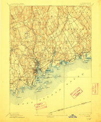
1912 edition
16.4 x 19.9 inches
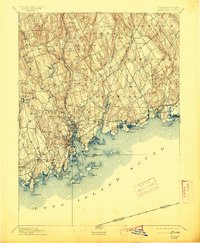
1913 edition
16.4 x 19.9 inches
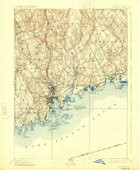
1924 edition
16.4 x 19.9 inches
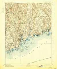
1930 edition
16.4 x 19.9 inches
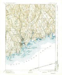
1937 edition
16.4 x 19.9 inches
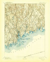
1944 edition
16.4 x 20.3 inches
Other maps of this area

1889 · Derby
USGS Topo · 1:62,500

1891 · Bridgeport
USGS Topo · 1:62,500

1891 · Derby
USGS Topo · 1:62,500

1892 · Stamford
USGS Topo · 1:62,500

1892 · Danbury
USGS Topo · 1:62,500

1892 · Norwalk
USGS Topo · 1:62,500

1892 · Carmel
USGS Topo · 1:62,500

1893 · Carmel
USGS Topo · 1:62,500

1893 · Bridgeport
USGS Topo · 1:62,500

1893 · Stamford
USGS Topo · 1:62,500