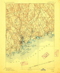
1893 Map of Norwalk
USGS Topo · Published 1912About this map
Norwalk and its surrounding coastal villages dominate this late-nineteenth-century landscape, showing the region before the dense twentieth-century suburbanization of Fairfield County. The shoreline is defined by its maritime geography, from the complex inlet of South Norwalk to the scattered Norwalk Islands, including Sheffield Id. and Chimon Id.. Inland, the terrain rises toward rugged landmarks like Devils Den and Sturgis Ridge, while the industrial and residential centers are tied together by the New York New Haven and Hartford RR.
Find a feature on this map
95 named features on this map. Tap any name to fly to it.
Don’t see what you’re looking for? This feature index may not catch every label — zoom into the map to look around manually.
Map Details
Editions of this 1893 Norwalk Map
12 editions found

1893 edition
16.7 x 19.7 inches
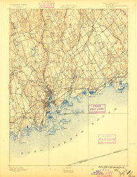
1896 edition
15.3 x 19.8 inches
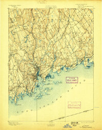
1898 edition
15.9 x 20.2 inches
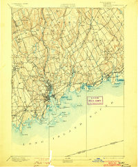
1903 edition
16.3 x 19.7 inches
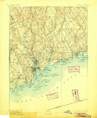
1906 edition
16.4 x 20 inches
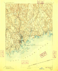
1909 edition
16.4 x 19.9 inches
1912 edition
16.4 x 19.9 inches
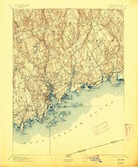
1913 edition
16.4 x 19.9 inches
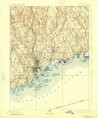
1924 edition
16.4 x 19.9 inches
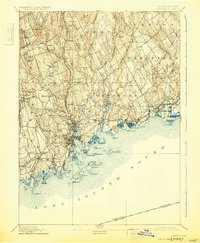
1930 edition
16.4 x 19.9 inches
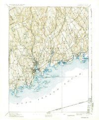
1937 edition
16.4 x 19.9 inches
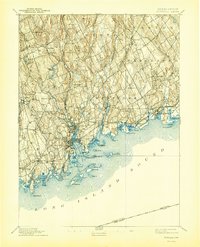
1944 edition
16.4 x 20.3 inches
Other maps of this area

1889 · Derby
USGS Topo · 1:62,500

1891 · Bridgeport
USGS Topo · 1:62,500

1891 · Derby
USGS Topo · 1:62,500

1892 · Stamford
USGS Topo · 1:62,500

1892 · Danbury
USGS Topo · 1:62,500

1892 · Norwalk
USGS Topo · 1:62,500

1892 · Carmel
USGS Topo · 1:62,500

1893 · Carmel
USGS Topo · 1:62,500

1893 · Bridgeport
USGS Topo · 1:62,500

1893 · Stamford
USGS Topo · 1:62,500