
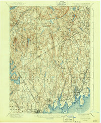
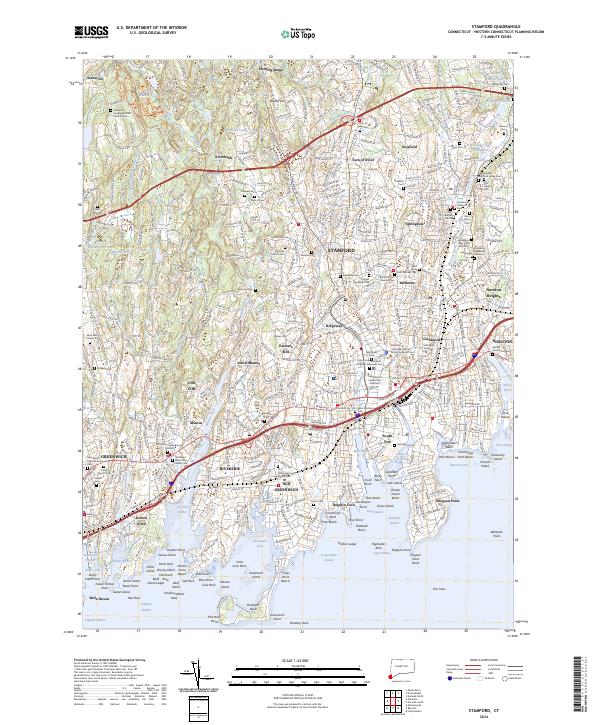
1893 Map of Stamford
USGS Topo · Published 1893About this map
Stamford and its surrounding coastal hamlets serve as the hub of activity in this late 19th-century survey of the Fairfield and Westchester borderlands. The intricate shoreline of Long Island Sound is deeply indented by inlets like Coscob Harbor and Stamford Cove, while the interior remains a landscape of scattered villages and family-named landmarks. The New York New Haven and Hartford Railroad connects the bustling shoreline communities of Sound Beach and Riverside, while the Harlem Division runs through the northwest, serving inland outposts like Bedford Station and Mt Kisco.
Find a feature on this map
76 named features on this map. Tap any name to fly to it.
Don’t see what you’re looking for? This feature index may not catch every label — zoom into the map to look around manually.
Map Details
Editions of this 1893 Stamford Map
This is the sole edition of this map. No revisions or reprints were ever made.
Historical Maps of Stamford Through Time
10 maps found

1892 Stamford
Fairfield County, CT
1893 Stamford
Fairfield County, CT
1899 Stamford
Fairfield County, CT
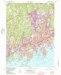
1960 Stamford
Fairfield County, CT
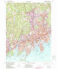
1987 Stamford
Fairfield County, CT
2012 Stamford
Fairfield County, CT
2015 Stamford
Fairfield County, CT
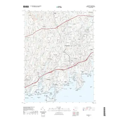
2018 Stamford
Fairfield County, CT
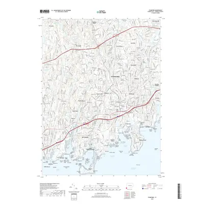
2021 Stamford
Fairfield County, CT
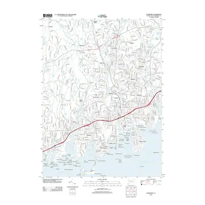
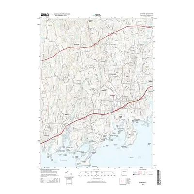
2024 Stamford
Fairfield County, CT