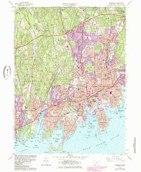
1960 Map of Stamford
USGS Topo · Published 1985About this map
Stamford and Greenwich occupy a dense coastal landscape during a period of rapid mid-century expansion. The map illustrates the convergence of major transportation corridors, with the Merritt Parkway to the north and the Connecticut Turnpike and Boston Post Road hugging the shoreline. This transit infrastructure bisects established residential neighborhoods like Springdale, Glenbrook, and Riverside, highlighting the transition from traditional maritime centers to suburban hubs.
Find a feature on this map
123 named features on this map. Tap any name to fly to it.
Don’t see what you’re looking for? This feature index may not catch every label — zoom into the map to look around manually.
Map Details
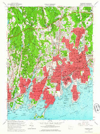
Editions of this 1960 Stamford Map
2 editions found
Other maps of this area

1892 · Stamford
USGS Topo · 1:62,500

1892 · Norwalk
USGS Topo · 1:62,500

1893 · Stamford
USGS Topo · 1:62,500

1893 · Norwalk
USGS Topo · 1:62,500

1897 · Oyster Bay
USGS Topo · 1:62,500

1898 · Oyster Bay
USGS Topo · 1:62,500

1899 · Stamford
USGS Topo · 1:62,500

1900 · Oyster Bay
USGS Topo · 1:62,500

1901 · Northport
USGS Topo · 1:62,500

1903 · Northport
USGS Topo · 1:62,500