
1903 Map of Northport
USGS Topo · Published 1903About this map
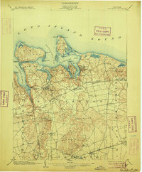
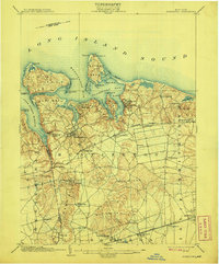
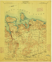
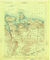
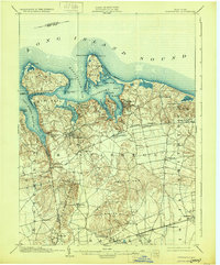
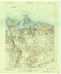
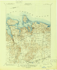
Long Island Sound shapes the rugged North Shore of Long Island, where deep harbors and complex peninsulas define the landscape. The maritime importance of the area is emphasized by several navigational aids, including Eaton Neck L.H. and Lloyd Harbor L.H.. Inland, the terrain rises into the distinctive Dix Hills and Half Hollow Hills, while the Long Island Railroad cuts across the southern portion of the sheet through Deerpark and Wyandanch. The Port Jefferson Branch of the rail network connects early 20th-century settlements like Kings Park, Greenlawn, and Larkfield. Along the shoreline, historic maritime villages such as Northport, Centerport, and Cold Spring Harbor are shown during a period of steady growth, their development closely tied to the natural inlets and the expansion of the rail corridor.
Find a feature on this map
65 named features on this map. Tap any name to fly to it.
Don’t see what you’re looking for? This feature index may not catch every label — zoom into the map to look around manually.
Map Details
Editions of this 1903 Northport Map
8 editions found
Other maps of this area

1891 · Bridgeport
USGS Topo · 1:62,500

1892 · Stamford
USGS Topo · 1:62,500

1892 · Norwalk
USGS Topo · 1:62,500

1893 · Bridgeport
USGS Topo · 1:62,500

1893 · Stamford
USGS Topo · 1:62,500

1893 · Norwalk
USGS Topo · 1:62,500

1897 · Hempstead
USGS Topo · 1:62,500

1897 · Oyster Bay
USGS Topo · 1:62,500

1898 · Hempstead
USGS Topo · 1:62,500

1898 · Oyster Bay
USGS Topo · 1:62,500