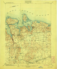
1903 Map of Northport
USGS Topo · Published 1908About this map
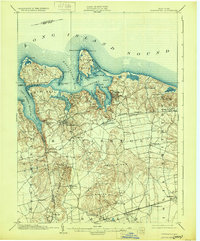
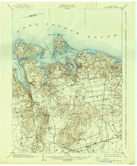
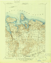
The deep estuaries and wooded necks of the North Shore characterize this survey, where the maritime economy of the early 1900s is marked by essential navigational aids. Distinctive points like Eaton Neck and Lloyd Neck reach into the Long Island Sound, protected by the Eaton Neck L.H. and the L.S.S. life-saving station. Further inland, the map captures a transition from coastal villages like Northport and Halesite to the developing interior along the Long Island Railroad.
Find a feature on this map
69 named features on this map. Tap any name to fly to it.
Don’t see what you’re looking for? This feature index may not catch every label — zoom into the map to look around manually.
Map Details
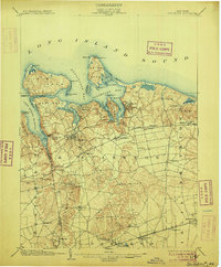
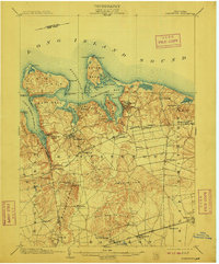
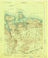
Editions of this 1903 Northport Map
8 editions found

Other maps of this area

1891 · Bridgeport
USGS Topo · 1:62,500

1892 · Stamford
USGS Topo · 1:62,500

1892 · Norwalk
USGS Topo · 1:62,500

1893 · Bridgeport
USGS Topo · 1:62,500

1893 · Stamford
USGS Topo · 1:62,500

1893 · Norwalk
USGS Topo · 1:62,500

1897 · Hempstead
USGS Topo · 1:62,500

1897 · Oyster Bay
USGS Topo · 1:62,500

1898 · Hempstead
USGS Topo · 1:62,500

1898 · Oyster Bay
USGS Topo · 1:62,500