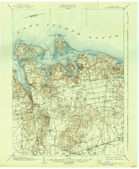
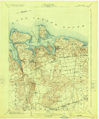
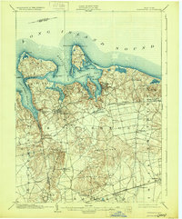
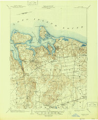
1903 Map of Northport
USGS Topo · Published 1938About this map
Long Island Sound carves a complex coastline of harbors and necks on the northern shore of Suffolk County, as surveyed at the opening of the twentieth century. The maritime character of the region is anchored by active navigational aids like Eatons Neck L.H. and the Lloyd Harbor L.H., marking the approaches to Northport Bay and Huntington Bay. Inland, the landscape transitions from the coastal bluffs of Lloyd Neck to the elevated terrain of the Dix Hills and Half Hollow Hills.
Find a feature on this map
62 named features on this map. Tap any name to fly to it.
Don’t see what you’re looking for? This feature index may not catch every label — zoom into the map to look around manually.
Map Details
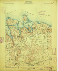
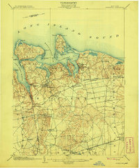
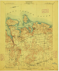
Editions of this 1903 Northport Map
8 editions found

Other maps of this area

1891 · Bridgeport
USGS Topo · 1:62,500

1892 · Stamford
USGS Topo · 1:62,500

1892 · Norwalk
USGS Topo · 1:62,500

1893 · Bridgeport
USGS Topo · 1:62,500

1893 · Stamford
USGS Topo · 1:62,500

1893 · Norwalk
USGS Topo · 1:62,500

1897 · Hempstead
USGS Topo · 1:62,500

1897 · Oyster Bay
USGS Topo · 1:62,500

1898 · Hempstead
USGS Topo · 1:62,500

1898 · Oyster Bay
USGS Topo · 1:62,500