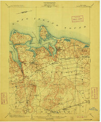
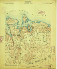
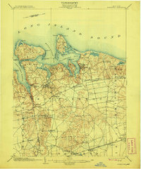
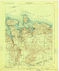
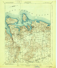
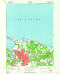
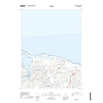
1903 Map of Northport
USGS Topo · Published 1912About this map
Lloyd Neck and Eaton Neck dominate the jagged northern shoreline of this Long Island study, defining a coastal landscape of sheltered harbors and deep bluffs. The interior terrain is shaped by the Half Hollow Hills, where the elevation rises to High Hill and Mountain Mist Spring, providing a stark contrast to the low-lying beaches of Lloyd Harbor and Price Bend. Navigational aids like the Eaton Neck L.H. and Cold Spring Harbor L.H. protect the maritime approaches to established maritime villages.
Find a feature on this map
64 named features on this map. Tap any name to fly to it.
Don’t see what you’re looking for? This feature index may not catch every label — zoom into the map to look around manually.
Map Details
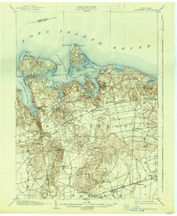
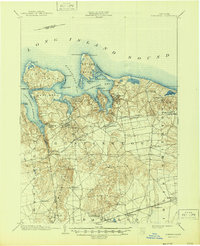
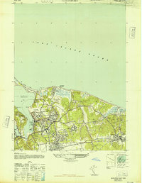
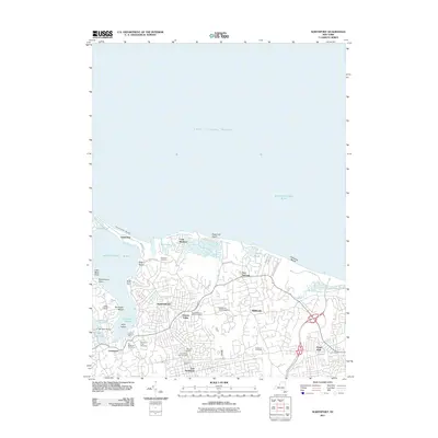
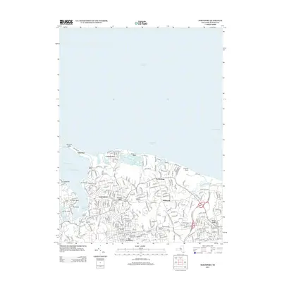
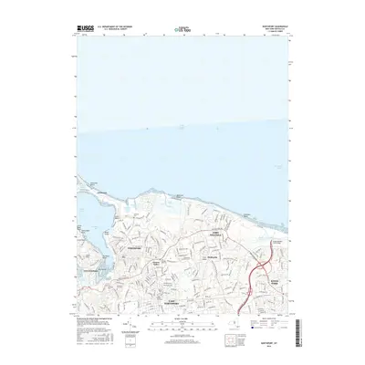
Editions of this 1903 Northport Map
8 editions found

Historical Maps of Islip Through Time
10 maps found

1901 Northport
Suffolk County, NY
1903 Northport
Suffolk County, NY
1947 Northport
Suffolk County, NY
1954 Northport
Suffolk County, NY

1967 Northport
Suffolk County, NY
2011 Northport
Suffolk County, NY
2013 Northport
Suffolk County, NY
2016 Northport
Suffolk County, NY
2019 Northport
Suffolk County, NY
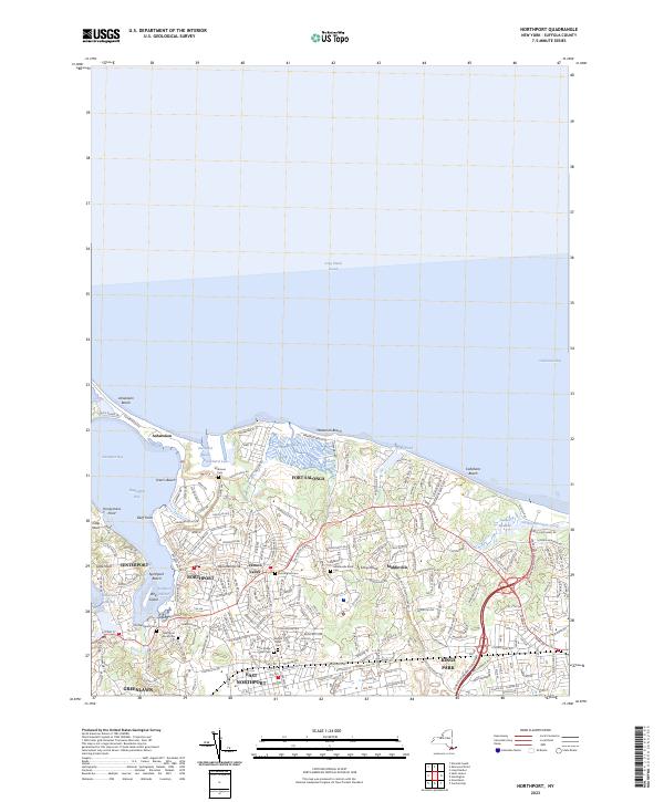
2023 Northport
Suffolk County, NY