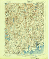
1899 Map of Stamford
USGS Topo · Published 1943About this map
The Long Island Sound coastline and the interior hills of Westchester and Fairfield counties are defined here by a dense network of early suburban settlements and late 19th-century rail infrastructure. Stamford serves as a primary hub, with industrial and maritime activity centered around Stamford Harbor and the Stamford Harbor L.H. at its entrance. Inland, the landscape transitions from the coastal marshes and points like Shippan Pt. to the higher elevations of Indian Hill and Round Hill. The influence of the Harlem Div. Railroad is evident in the development of Bedford Station and Mount Kisco to the northwest. This survey also records the vital water supply systems of the era, including the New Croton Res. and the Cross River Reservoir, which highlight the region's role in supporting the growth of the nearby metropolis.
Find a feature on this map
77 named features on this map. Tap any name to fly to it.
Don’t see what you’re looking for? This feature index may not catch every label — zoom into the map to look around manually.
Map Details
Editions of this 1899 Stamford Map
13 editions found

1899 edition
16.6 x 20.2 inches
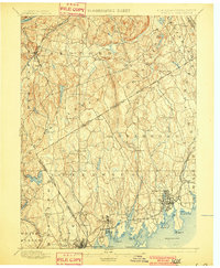
1901 edition
16.6 x 20.1 inches
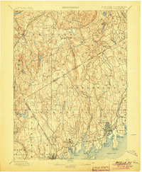
1904 edition
16.6 x 20.2 inches
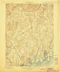
1905 edition
16.6 x 20.1 inches
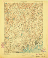
1907 edition
16.6 x 20.1 inches
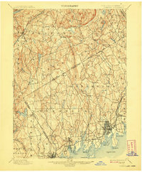
1908 edition
16.6 x 20.1 inches
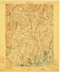
1911 edition
16.6 x 20.2 inches
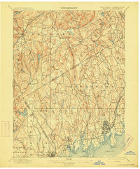
1915 edition
16.6 x 20.1 inches
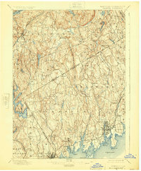
1925 edition
16.6 x 20.1 inches
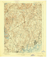
1928 edition
16.6 x 20.2 inches
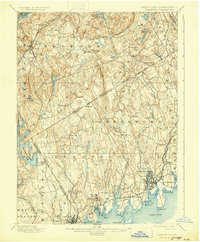
1931 edition
16.5 x 20 inches
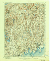
1937 edition
16.6 x 20.1 inches
1943 edition
16.6 x 20.1 inches
Other maps of this area

1891 · Harlem
USGS Topo · 1:62,500

1892 · Stamford
USGS Topo · 1:62,500

1892 · West Point
USGS Topo · 1:62,500

1892 · Danbury
USGS Topo · 1:62,500

1892 · Norwalk
USGS Topo · 1:62,500

1892 · Carmel
USGS Topo · 1:62,500

1892 · Tarrytown
USGS Topo · 1:62,500

1893 · Carmel
USGS Topo · 1:62,500

1893 · Stamford
USGS Topo · 1:62,500

1893 · Norwalk
USGS Topo · 1:62,500