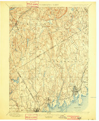
1899 Map of Stamford
USGS Topo · Published 1901About this map
Stamford and Greenwich anchor this 1890s survey of the New York-Connecticut borderlands, showing the shoreline communities before the intensive suburban expansion of the twentieth century. The map illustrates a landscape of established coastal towns and inland farming hamlets connected by early rail networks. The New York New Haven and Hartford Railroad follows the Long Island Sound coast, serving stops like Sound Beach, Riverside, and Coscob. In the rugged interior, the Harlem Div. line provides access to Bedford Station and Mt. Kisco. Distinctive features like the Stamford Harbor L.H. and family-named landmarks such as Indian Hill and Round Hill define the terrain. The map captures the precise New York Connecticut Boundary Line as it cuts through woods and estates from Banksville to the Sound, offering a detailed look at the historic property divisions of Westchester Co. and Fairfield Co.
Find a feature on this map
80 named features on this map. Tap any name to fly to it.
Don’t see what you’re looking for? This feature index may not catch every label — zoom into the map to look around manually.
Map Details
Editions of this 1899 Stamford Map
13 editions found

1899 edition
16.6 x 20.2 inches
1901 edition
16.6 x 20.1 inches
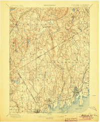
1904 edition
16.6 x 20.2 inches
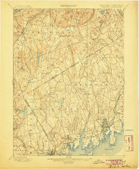
1905 edition
16.6 x 20.1 inches
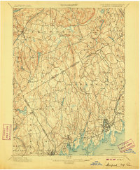
1907 edition
16.6 x 20.1 inches
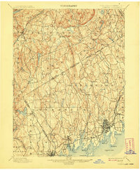
1908 edition
16.6 x 20.1 inches
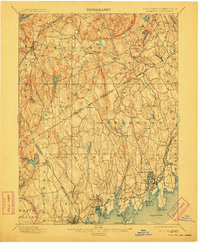
1911 edition
16.6 x 20.2 inches
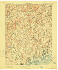
1915 edition
16.6 x 20.1 inches
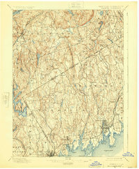
1925 edition
16.6 x 20.1 inches
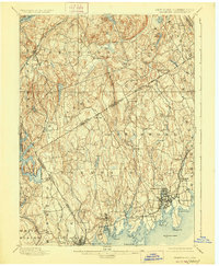
1928 edition
16.6 x 20.2 inches
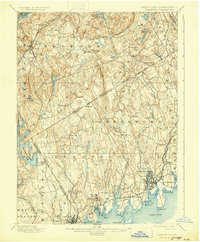
1931 edition
16.5 x 20 inches
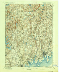
1937 edition
16.6 x 20.1 inches
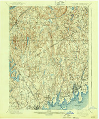
1943 edition
16.6 x 20.1 inches
Other maps of this area

1891 · Harlem
USGS Topo · 1:62,500

1892 · Stamford
USGS Topo · 1:62,500

1892 · West Point
USGS Topo · 1:62,500

1892 · Danbury
USGS Topo · 1:62,500

1892 · Norwalk
USGS Topo · 1:62,500

1892 · Carmel
USGS Topo · 1:62,500

1892 · Tarrytown
USGS Topo · 1:62,500

1893 · Carmel
USGS Topo · 1:62,500

1893 · Stamford
USGS Topo · 1:62,500

1893 · Norwalk
USGS Topo · 1:62,500