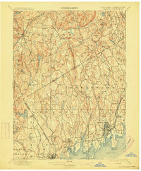
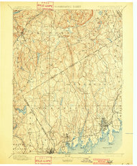
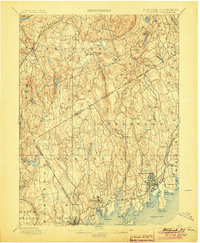
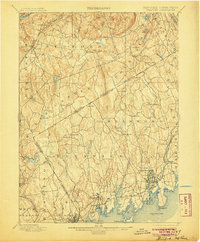
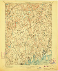
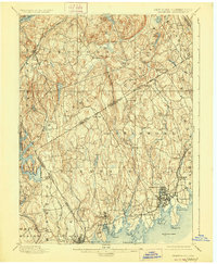
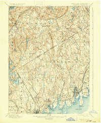
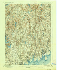
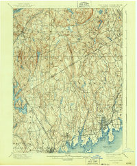
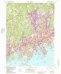
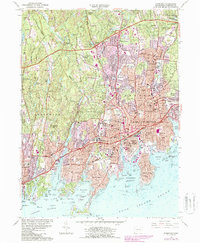
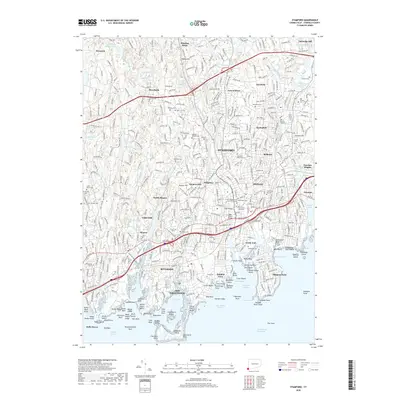
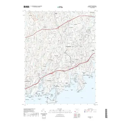
1899 Map of Stamford
USGS Topo · Published 1915About this map
The coastal and inland borderlands of Fairfield County and Westchester County are captured here during a period of transition from rural farming to industrial and residential growth. Along the Long Island Sound, the New York New Haven and Hartford Railroad links established maritime hubs like Stamford and Greenwich to smaller waterfront communities such as Cos Cob, Riverside, and Sound Beach. This corridor shows a dense network of harbors and coves, including Bush Harbor and Indian Harbor, indicating a vibrant coastal economy and early suburban development.
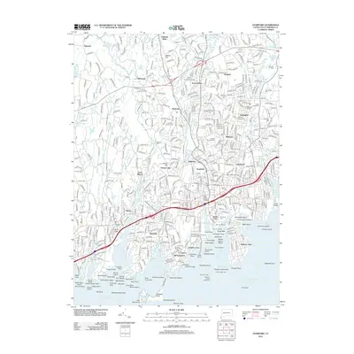
Find a feature on this map
82 named features on this map. Tap any name to fly to it.
Don’t see what you’re looking for? This feature index may not catch every label — zoom into the map to look around manually.
Map Details
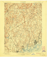
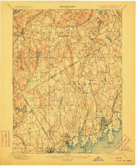
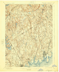
Editions of this 1899 Stamford Map
13 editions found

1899 edition
16.6 x 20.2 inches
1901 edition
16.6 x 20.1 inches
1904 edition
16.6 x 20.2 inches
1905 edition
16.6 x 20.1 inches
1907 edition
16.6 x 20.1 inches
1908 edition
16.6 x 20.1 inches
1911 edition
16.6 x 20.2 inches
1915 edition
16.6 x 20.1 inches
1925 edition
16.6 x 20.1 inches
1928 edition
16.6 x 20.2 inches
1931 edition
16.5 x 20 inches
1937 edition
16.6 x 20.1 inches
1943 edition
16.6 x 20.1 inches
Historical Maps of Stamford Through Time
10 maps found

1892 Stamford
Fairfield County, CT

1893 Stamford
Fairfield County, CT
1899 Stamford
Fairfield County, CT
1960 Stamford
Fairfield County, CT
1987 Stamford
Fairfield County, CT
2012 Stamford
Fairfield County, CT
2015 Stamford
Fairfield County, CT
2018 Stamford
Fairfield County, CT
2021 Stamford
Fairfield County, CT
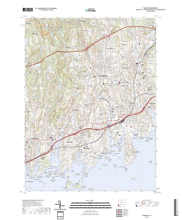
2024 Stamford
Fairfield County, CT