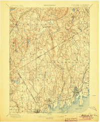
1899 Map of Stamford
USGS Topo · Published 1904About this map
The Long Island Sound coastline serves as the focal point for this late 19th-century survey, detailing the maritime and rail-connected communities of Fairfield and Westchester counties. Along the shore, the deep indentation of Stamford Harbor L.H. and the residential expansions at Sound Beach and Riverside mark the coastal density. The landscape transitions inland through a network of small hamlets and watersheds, where the Mianus River and Byram River carve paths through the undulating terrain toward the Sound.
Find a feature on this map
86 named features on this map. Tap any name to fly to it.
Don’t see what you’re looking for? This feature index may not catch every label — zoom into the map to look around manually.
Map Details
Editions of this 1899 Stamford Map
13 editions found

1899 edition
16.6 x 20.2 inches
1901 edition
16.6 x 20.1 inches
1904 edition
16.6 x 20.2 inches
1905 edition
16.6 x 20.1 inches
1907 edition
16.6 x 20.1 inches
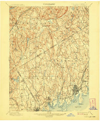
1908 edition
16.6 x 20.1 inches
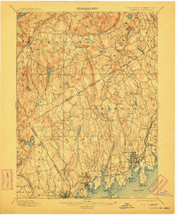
1911 edition
16.6 x 20.2 inches
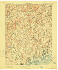
1915 edition
16.6 x 20.1 inches
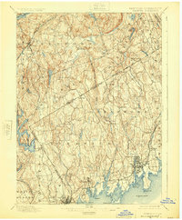
1925 edition
16.6 x 20.1 inches
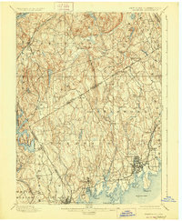
1928 edition
16.6 x 20.2 inches
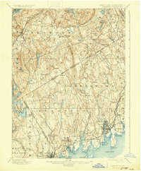
1931 edition
16.5 x 20 inches
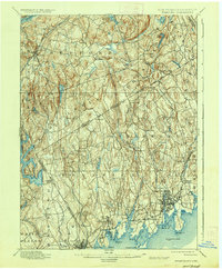
1937 edition
16.6 x 20.1 inches
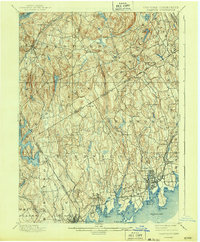
1943 edition
16.6 x 20.1 inches
Other maps of this area

1891 · Harlem
USGS Topo · 1:62,500

1892 · Stamford
USGS Topo · 1:62,500

1892 · West Point
USGS Topo · 1:62,500

1892 · Danbury
USGS Topo · 1:62,500

1892 · Norwalk
USGS Topo · 1:62,500

1892 · Carmel
USGS Topo · 1:62,500

1892 · Tarrytown
USGS Topo · 1:62,500

1893 · Carmel
USGS Topo · 1:62,500

1893 · Stamford
USGS Topo · 1:62,500

1893 · Norwalk
USGS Topo · 1:62,500