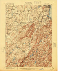
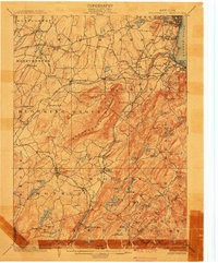
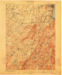
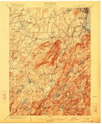
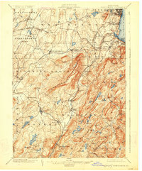
1902 Map of Schunemunk
USGS Topo · Published 1920About this map
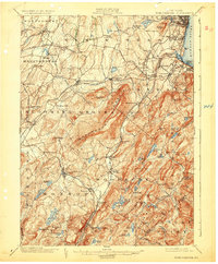
Schunemunk Mountain dominates the center of this landscape, its steep ridge lines overlooking a dense network of early 20th-century rail lines that define the region's industrial character. The Erie, New York Ontario and Western, and Central New England railroads converge in the north at Maybrook and Burnside, while the Newburg Branch traces the Moodna Creek valley. These transit corridors supported settlements like Washingtonville and Salisbury Mills, where the transition from agriculture to industry was well underway by the time of this survey.
Find a feature on this map
108 named features on this map. Tap any name to fly to it.
Don’t see what you’re looking for? This feature index may not catch every label — zoom into the map to look around manually.
Map Details
Editions of this 1902 Schunemunk Map
10 editions found

Other maps of this area

1891 · Greenwood Lake
USGS Topo · 1:62,500

1891 · Ramapo
USGS Topo · 1:62,500

1892 · West Point
USGS Topo · 1:62,500

1892 · Tarrytown
USGS Topo · 1:62,500

1893 · Greenwood Lake
USGS Topo · 1:62,500

1893 · Tarrytown
USGS Topo · 1:62,500

1893 · Ramapo
USGS Topo · 1:62,500

1893 · Poughkeepsie
USGS Topo · 1:62,500

1894 · West Point
USGS Topo · 1:62,500

1894 · Poughkeepsie
USGS Topo · 1:62,500