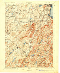
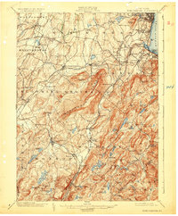
1902 Map of Schunemunk
USGS Topo · Published 1926About this map
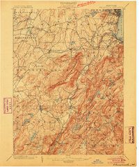
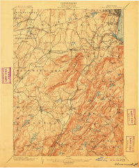
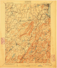
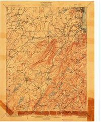
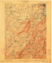
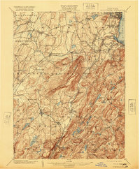
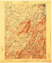
Schunemunk Mountain dominates this portion of the Hudson Highlands at the turn of the century, serving as a massive natural anchor between the rail corridors of the Erie RR and the New York Ontario and Western RR. The landscape is a complex network of milling and transport hubs, where Moodna Creek passes through Salisbury Mills toward the riverfront activity at Cornwall Landing. This 1899 survey captures the era's transition from agricultural estates like Houghton Farm and Blooming Grove to the industrial utility of the Bull Mine. To the east, the Hudson River shoreline is crowded with rail infrastructure, including the West Shore RR and the Newburgh Branch, connecting riverside settlements like Firthcliffe and Idlewild to the broader regional economy.
Find a feature on this map
108 named features on this map. Tap any name to fly to it.
Don’t see what you’re looking for? This feature index may not catch every label — zoom into the map to look around manually.
Map Details
Editions of this 1902 Schunemunk Map
10 editions found

Other maps of this area

1891 · Greenwood Lake
USGS Topo · 1:62,500

1891 · Ramapo
USGS Topo · 1:62,500

1892 · West Point
USGS Topo · 1:62,500

1892 · Tarrytown
USGS Topo · 1:62,500

1893 · Greenwood Lake
USGS Topo · 1:62,500

1893 · Tarrytown
USGS Topo · 1:62,500

1893 · Ramapo
USGS Topo · 1:62,500

1893 · Poughkeepsie
USGS Topo · 1:62,500

1894 · West Point
USGS Topo · 1:62,500

1894 · Poughkeepsie
USGS Topo · 1:62,500