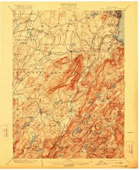
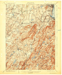
1902 Map of Schunemunk
USGS Topo · Published 1922About this map
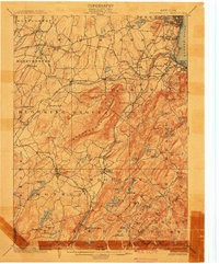
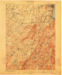
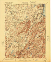
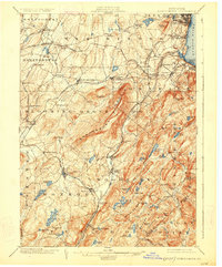
Schunemunk Mountain dominates this landscape, rising above a network of Hudson Valley communities and vital transport lines at the turn of the twentieth century. The map captures the complex rail infrastructure of the era, including the Erie RR and the New York Ontario and Western RR, which connected agricultural and industrial centers like Washingtonville and Highland Mills. Notable industrial sites, such as Bull Mine and Salisbury Mills, appear alongside large-scale infrastructure like the Catskill Aqueduct, illustrating the region's role in supplying resources and water to the growing metropolitan areas to the south.
Find a feature on this map
108 named features on this map. Tap any name to fly to it.
Don’t see what you’re looking for? This feature index may not catch every label — zoom into the map to look around manually.
Map Details
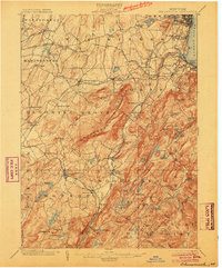
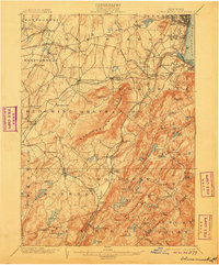
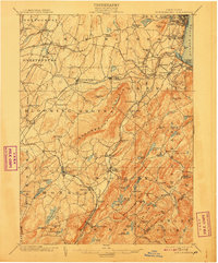
Editions of this 1902 Schunemunk Map
10 editions found

Other maps of this area

1891 · Greenwood Lake
USGS Topo · 1:62,500

1891 · Ramapo
USGS Topo · 1:62,500

1892 · West Point
USGS Topo · 1:62,500

1892 · Tarrytown
USGS Topo · 1:62,500

1893 · Greenwood Lake
USGS Topo · 1:62,500

1893 · Tarrytown
USGS Topo · 1:62,500

1893 · Ramapo
USGS Topo · 1:62,500

1893 · Poughkeepsie
USGS Topo · 1:62,500

1894 · West Point
USGS Topo · 1:62,500

1894 · Poughkeepsie
USGS Topo · 1:62,500