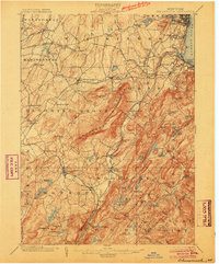
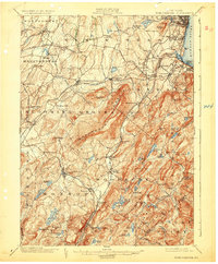
1902 Map of Schunemunk
USGS Topo · Published 1904About this map
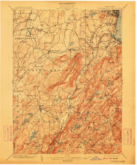
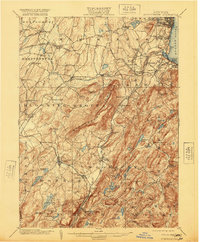
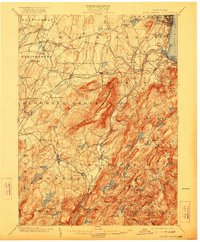
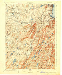
Schunemunk Mountain dominates the center of this turn-of-the-century survey, surrounded by a complex network of rail lines and industrial sites in the Hudson Highlands. The Erie R.R. and its various branches, including the Newburg Br. and Montg. Br., link growing settlements like Cornwall on the Hudson and Washingtonville. Local industry and land use are evident through the Bull Mine near Monroe and the Forest of Dean settlement, while the terrain's hydrology is marked by Lake Mombasha and Popolopen Creek.
Find a feature on this map
117 named features on this map. Tap any name to fly to it.
Don’t see what you’re looking for? This feature index may not catch every label — zoom into the map to look around manually.
Map Details
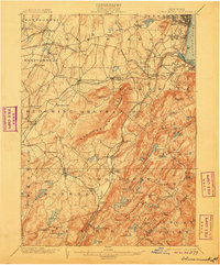
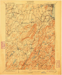
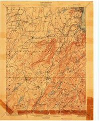
Editions of this 1902 Schunemunk Map
10 editions found

Other maps of this area

1891 · Greenwood Lake
USGS Topo · 1:62,500

1891 · Ramapo
USGS Topo · 1:62,500

1892 · West Point
USGS Topo · 1:62,500

1892 · Tarrytown
USGS Topo · 1:62,500

1893 · Greenwood Lake
USGS Topo · 1:62,500

1893 · Tarrytown
USGS Topo · 1:62,500

1893 · Ramapo
USGS Topo · 1:62,500

1893 · Poughkeepsie
USGS Topo · 1:62,500

1894 · West Point
USGS Topo · 1:62,500

1894 · Poughkeepsie
USGS Topo · 1:62,500