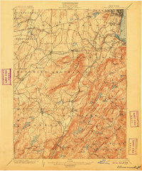
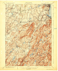
1902 Map of Schunemunk
USGS Topo · Published 1906About this map
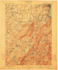
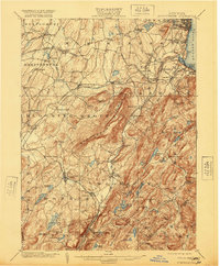
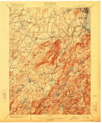
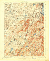
Schunemunk Mountain dominates this portion of Orange County, serving as a massive physical barrier between the agricultural lowlands and the industrial Hudson River corridor. At the turn of the century, this landscape was a complex network of rail lines including the Erie R.R. and the West Shore R.R., which funneled resources through junctions like Newburg Junct. The presence of the Bull Mine and the Forest of Dean mine highlights the area's geological utility, while villages like Washingtonville and Highland Mills reflect the established settlement patterns of the Hudson Valley. Numerous water bodies, from Lake Mombasha to Cromwell Lake, punctuate the terrain, providing essential resources for the dairies and mills that once lined Moodna Creek.
Find a feature on this map
125 named features on this map. Tap any name to fly to it.
Don’t see what you’re looking for? This feature index may not catch every label — zoom into the map to look around manually.
Map Details
Editions of this 1902 Schunemunk Map
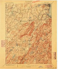
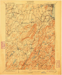
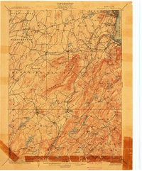
10 editions found

Other maps of this area

1891 · Greenwood Lake
USGS Topo · 1:62,500

1891 · Ramapo
USGS Topo · 1:62,500

1892 · West Point
USGS Topo · 1:62,500

1892 · Tarrytown
USGS Topo · 1:62,500

1893 · Greenwood Lake
USGS Topo · 1:62,500

1893 · Tarrytown
USGS Topo · 1:62,500

1893 · Ramapo
USGS Topo · 1:62,500

1893 · Poughkeepsie
USGS Topo · 1:62,500

1894 · West Point
USGS Topo · 1:62,500

1894 · Poughkeepsie
USGS Topo · 1:62,500