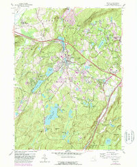
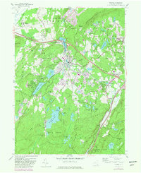
1957 Map of Monroe
USGS Topo · Published 1988About this map
Monroe and Harriman serve as the primary hubs in this late-twentieth-century study of the Hudson Highlands' western edge. The map reflects a landscape in transition, where legacy infrastructure like the Conrail lines and the Orange Turnpike intersect with modern developments such as the Smiths Clove (Museum Village). Significant water bodies dominate the central and southern portions of the quadrangle, including the large Mombasha Lake and the recreational cluster of Round Lake and Walton Lake. The southern reaches are defined by the protected wilderness of Harriman State Park, where the Appalachian Trail winds past Island Pond and over Surebridge Mountain. This survey effectively documents the area's mix of residential growth and conserved open space, showing the proximity of settlements like Arden and Central Valley to the dramatic slopes of Schunnemunk Mountain.
Find a feature on this map
92 named features on this map. Tap any name to fly to it.
Don’t see what you’re looking for? This feature index may not catch every label — zoom into the map to look around manually.
Map Details
Editions of this 1957 Monroe Map
5 editions found
Other maps of this area

1891 · Greenwood Lake
USGS Topo · 1:62,500

1891 · Ramapo
USGS Topo · 1:62,500

1893 · Greenwood Lake
USGS Topo · 1:62,500

1893 · Ramapo
USGS Topo · 1:62,500

1902 · Schunemunk
USGS Topo · 1:62,500

1903 · Greenwood Lake
USGS Topo · 1:62,500

1906 · Goshen
USGS Topo · 1:62,500

1908 · Goshen
USGS Topo · 1:62,500

1910 · Ramapo
USGS Topo · 1:62,500

1910 · Greenwood Lake
USGS Topo · 1:62,500