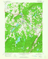
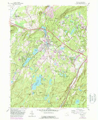
1957 Map of Monroe
USGS Topo · Published 1965About this map
The town of Monroe and its surrounding villages form a vibrant mid-century landscape centered on the Erie RR corridor. In the years following the war, this section of Orange County balanced industrial heritage with growing recreational and educational infrastructure. Local history is anchored at Smiths Clove (Museum Village), while the presence of St Patricks Sch and Monroe-Woodbury Central High Sch highlights the area's development.
Find a feature on this map
72 named features on this map. Tap any name to fly to it.
Don’t see what you’re looking for? This feature index may not catch every label — zoom into the map to look around manually.
Map Details
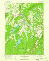
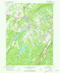
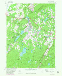
Editions of this 1957 Monroe Map
5 editions found
Other maps of this area

1891 · Greenwood Lake
USGS Topo · 1:62,500

1891 · Ramapo
USGS Topo · 1:62,500

1893 · Greenwood Lake
USGS Topo · 1:62,500

1893 · Ramapo
USGS Topo · 1:62,500

1902 · Schunemunk
USGS Topo · 1:62,500

1903 · Greenwood Lake
USGS Topo · 1:62,500

1906 · Goshen
USGS Topo · 1:62,500

1908 · Goshen
USGS Topo · 1:62,500

1910 · Ramapo
USGS Topo · 1:62,500

1910 · Greenwood Lake
USGS Topo · 1:62,500