
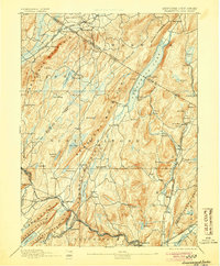
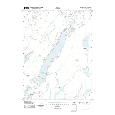
1903 Map of Greenwood Lake
USGS Topo · Published 1909About this map
Greenwood Lake bisects the border of New York and New Jersey in this early twentieth-century survey, a landscape defined by industrial extraction and complex topography. The region's iron-working heritage is visible through numerous workings such as Sterling Furnace and the clustered Dayton Mines, Green Mines, and Ringwood Mine. These operations were supported by a specialized rail network, including the Sterling Mountain Railroad and the Ringwood Branch Erie Railroad, which navigated the gaps between Wawayanda Mountain and Bearfort Mountain. High-altitude water bodies like Wawayanda Lake and Sterling Lake are surrounded by scattered settlements such as Newfoundland, Upper Macopin, and West Milford. The map details a period when the natural resource economy of the Highlands was in full operation, before the shift toward modern conservation and recreation.
Find a feature on this map
85 named features on this map. Tap any name to fly to it.
Don’t see what you’re looking for? This feature index may not catch every label — zoom into the map to look around manually.
Map Details
Editions of this 1903 Greenwood Lake Map
This is the sole edition of this map. No revisions or reprints were ever made.
Historical Maps of Wayne Through Time
11 maps found

1891 Greenwood Lake
Orange County, NY
1893 Greenwood Lake
Orange County, NY
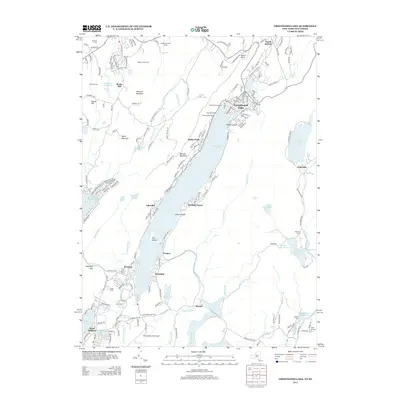
1903 Greenwood Lake
Orange County, NY
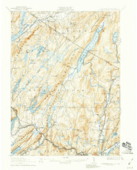
1910 Greenwood Lake
Orange County, NY
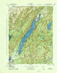
1943 Greenwood Lake
Orange County, NY
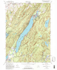
1954 Greenwood Lake
Orange County, NY
2011 Greenwood Lake
Orange County, NY
2013 Greenwood Lake
Orange County, NY
2016 Greenwood Lake
Orange County, NY
2019 Greenwood Lake
Orange County, NY

2023 Greenwood Lake
Orange County, NY