
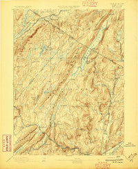
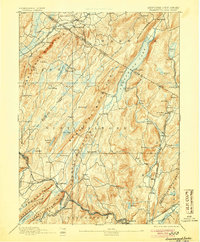
1893 Map of Greenwood Lake
USGS Topo · Published 1893About this map
Greenwood Lake bisects the border of New York and New Jersey, serving as the central axis for a region dominated by iron mining and heavy rail transport in the late nineteenth century. The rugged northeast-to-southwest ridges of Bearfort Mountain and Kanouse Mountain hem in a network of valleys where industry flourished. This 1893 edition shows the critical infrastructure of the era, from the Sterling Mountain Railroad serving the furnaces to the Lehigh and Hudson River Railroad in the northwest.
Find a feature on this map
88 named features on this map. Tap any name to fly to it.
Don’t see what you’re looking for? This feature index may not catch every label — zoom into the map to look around manually.
Map Details
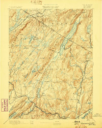
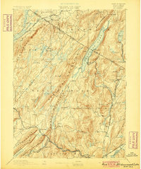
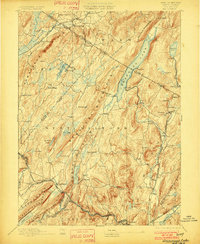
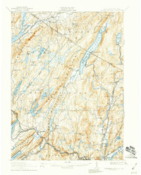
Editions of this 1893 Greenwood Lake Map
6 editions found
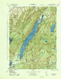
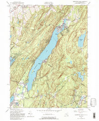
Historical Maps of Wayne Through Time
11 maps found

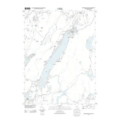
1891 Greenwood Lake
Orange County, NY
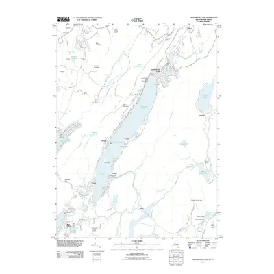
1893 Greenwood Lake
Orange County, NY

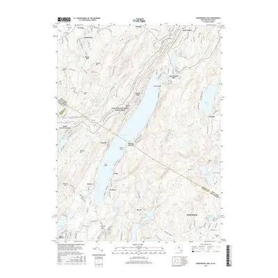
1903 Greenwood Lake
Orange County, NY
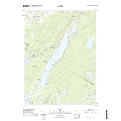
1910 Greenwood Lake
Orange County, NY
1943 Greenwood Lake
Orange County, NY
1954 Greenwood Lake
Orange County, NY
2011 Greenwood Lake
Orange County, NY
2013 Greenwood Lake
Orange County, NY
2016 Greenwood Lake
Orange County, NY
2019 Greenwood Lake
Orange County, NY

2023 Greenwood Lake
Orange County, NY