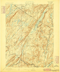
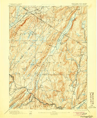
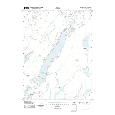
1893 Map of Greenwood Lake
USGS Topo · Published 1900About this map
The rugged borderland of New York and New Jersey comes to life in this survey by Henry Gannett and Marcus Baker, illustrating a landscape defined by heavy industry and natural barriers. Dominating the center is Greenwood Lake, which straddles the state line between Orange and Passaic counties. The eastern ridges are marked by the extensive mining operations of the day, including the Peters Mine, Cannon Mine, and Ringwood ironworks, which were served by the Sterling Mountain Railroad.
Find a feature on this map
94 named features on this map. Tap any name to fly to it.
Don’t see what you’re looking for? This feature index may not catch every label — zoom into the map to look around manually.
Map Details
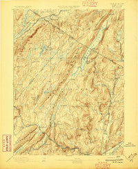
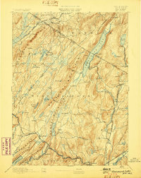
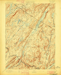
Editions of this 1893 Greenwood Lake Map
6 editions found

Historical Maps of Wayne Through Time
11 maps found

1891 Greenwood Lake
Orange County, NY
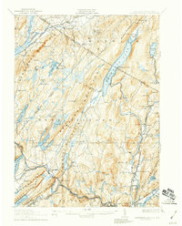
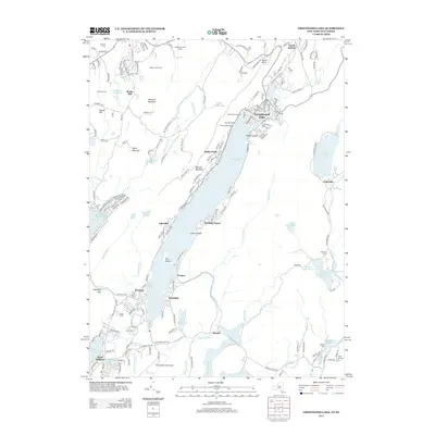
1893 Greenwood Lake
Orange County, NY

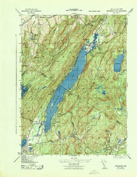
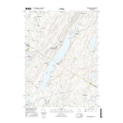
1903 Greenwood Lake
Orange County, NY
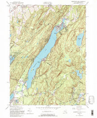
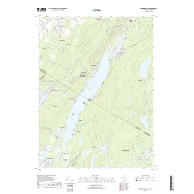
1910 Greenwood Lake
Orange County, NY
1943 Greenwood Lake
Orange County, NY
1954 Greenwood Lake
Orange County, NY
2011 Greenwood Lake
Orange County, NY
2013 Greenwood Lake
Orange County, NY
2016 Greenwood Lake
Orange County, NY
2019 Greenwood Lake
Orange County, NY

2023 Greenwood Lake
Orange County, NY