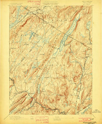
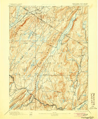
1893 Map of Greenwood Lake
USGS Topo · Published 1901About this map
Bearfort Mountain and Wawayanda Mountain dominate this late-19th-century landscape, a region defined by its iron industry and the emerging recreational draw of Greenwood Lake. The map reveals a specialized industrial geography where the Sterling Mountain Railroad connects remote extraction sites like the Hope Mine and Peters Mine to Sterling Furnace. These operations are interspersed with established settlements such as New Milford and Newfoundland, illustrating a time when heavy extraction and rural village life coexisted. The rugged topography is etched with drainage systems like the Pequannock River and Wanaque River, which supported early mills and water supplies. This survey records the precise boundary locations between Orange Co and Passaic Co, capturing the era just before these mountains and lakes became the primary weekend retreats for the nearby metropolitan centers.
Find a feature on this map
98 named features on this map. Tap any name to fly to it.
Don’t see what you’re looking for? This feature index may not catch every label — zoom into the map to look around manually.
Map Details
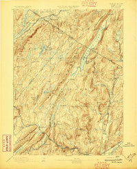
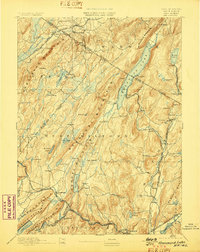
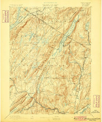
Editions of this 1893 Greenwood Lake Map
6 editions found
Other maps of this area

1888 · Franklin
USGS Topo · 1:62,500

1888 · Morristown
USGS Topo · 1:62,500

1888 · Lake Hopatcong
USGS Topo · 1:62,500

1888 · Paterson
USGS Topo · 1:62,500

1891 · Greenwood Lake
USGS Topo · 1:62,500

1891 · Ramapo
USGS Topo · 1:62,500

1892 · Paterson
USGS Topo · 1:62,500

1893 · Greenwood Lake
USGS Topo · 1:62,500

1893 · Ramapo
USGS Topo · 1:62,500

1894 · Morristown
USGS Topo · 1:62,500