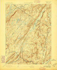
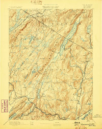
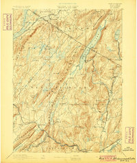
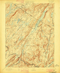
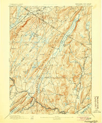
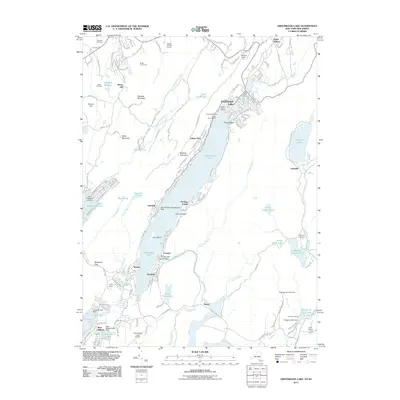
1893 Map of Greenwood Lake
USGS Topo · Published 1893About this map
Greenwood Lake sits at the heart of this late 19th-century study, straddling the high mountain ridges and state boundaries of New York and New Jersey. The landscape is defined by the extraction of iron ore, evidenced by a dense network of mountain mines including the Charlotteburg Mine, Hope Mine, and Green Pond Mines. These industrial outposts are linked by a rugged infrastructure of specialized rail lines like the Sterling Mountain Railroad and the Ringwood Branch Railroad, which serviced the iron furnaces and remote settlements of the Highlands. In the valleys, established villages such as West Milford and New Foundland anchor the rural landscape. The map reveals an intricate hydrological system of feeder ponds and lakes, such as Macopin Lake and Wawayanda Lake, that supported both the local industry and the developing regional water networks during this era of rapid industrialization.
Find a feature on this map
91 named features on this map. Tap any name to fly to it.
Don’t see what you’re looking for? This feature index may not catch every label — zoom into the map to look around manually.
Map Details
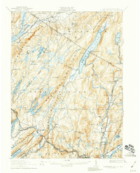
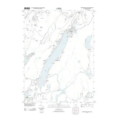
Editions of this 1893 Greenwood Lake Map
6 editions found

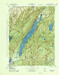
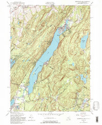
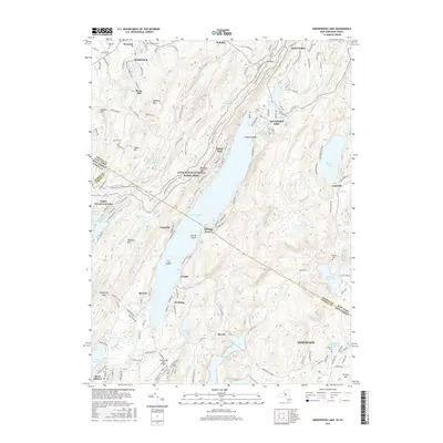
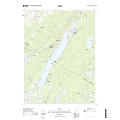
Historical Maps of Wayne Through Time
11 maps found

1891 Greenwood Lake
Orange County, NY
1893 Greenwood Lake
Orange County, NY

1903 Greenwood Lake
Orange County, NY
1910 Greenwood Lake
Orange County, NY
1943 Greenwood Lake
Orange County, NY
1954 Greenwood Lake
Orange County, NY
2011 Greenwood Lake
Orange County, NY
2013 Greenwood Lake
Orange County, NY
2016 Greenwood Lake
Orange County, NY
2019 Greenwood Lake
Orange County, NY

2023 Greenwood Lake
Orange County, NY