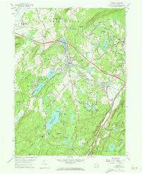
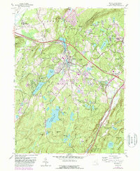
1957 Map of Monroe
USGS Topo · Published 1973About this map
Monroe serves as the central hub of this mid-century portrait of Orange County, where the transition from industrial roots to suburban growth is visible. The Erie RR corridor anchors the landscape, passing through Harriman and the rail hub at Newburgh Junction. Evidence of the area's older economy remains at Bull Mine and Bull Mine Mtn, while the presence of Smiths Clove (Museum Village) suggests a mid-century interest in preserving the region's colonial heritage even as modern schools like Monroe-Woodbury Central High Sch appear.
Find a feature on this map
79 named features on this map. Tap any name to fly to it.
Don’t see what you’re looking for? This feature index may not catch every label — zoom into the map to look around manually.
Map Details
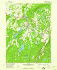
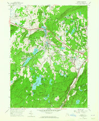
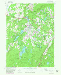
Editions of this 1957 Monroe Map
5 editions found
Other maps of this area

1891 · Greenwood Lake
USGS Topo · 1:62,500

1891 · Ramapo
USGS Topo · 1:62,500

1893 · Greenwood Lake
USGS Topo · 1:62,500

1893 · Ramapo
USGS Topo · 1:62,500

1902 · Schunemunk
USGS Topo · 1:62,500

1903 · Greenwood Lake
USGS Topo · 1:62,500

1906 · Goshen
USGS Topo · 1:62,500

1908 · Goshen
USGS Topo · 1:62,500

1910 · Ramapo
USGS Topo · 1:62,500

1910 · Greenwood Lake
USGS Topo · 1:62,500