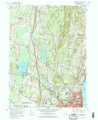
1957 Map of Newburgh
USGS Topo · Published 1968About this map
Newburgh anchors the southeastern corner of this mid-century landscape, positioned along the Hudson River where the Erie Railroad once funneled commerce through its urban streets. The map reveals a region in transition as the New York State Thruway cuts through the rural tracts of Plattekill and Newburgh town, signaling the modern era's encroachment on older crossroads like Savilton and Leptondale. To the west, Orange Lake remains a focal point for recreation, noted by the presence of the Pine Pt Casino. The terrain is defined by the sharp rise of Marlboro Mountain in the north and the rolling hills around Cronomer Hill, while numerous spiritual and educational institutions, including Our Lady of Hope Seminary and Mt St Marys Academy, appear as established local landmarks. Suburban development is visible expanding from the city center toward Balmville and Gardnertown, yet large green spaces like Algonquin Park persist between the growing neighborhoods.
Find a feature on this map
76 named features on this map. Tap any name to fly to it.
Don’t see what you’re looking for? This feature index may not catch every label — zoom into the map to look around manually.
Map Details
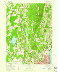
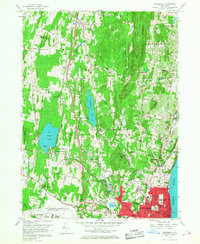
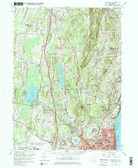
Editions of this 1957 Newburgh Map
4 editions found
Other maps of this area

1892 · West Point
USGS Topo · 1:62,500

1893 · Poughkeepsie
USGS Topo · 1:62,500

1894 · West Point
USGS Topo · 1:62,500

1894 · Poughkeepsie
USGS Topo · 1:62,500

1899 · West Point
USGS Topo · 1:62,500

1901 · West Point
USGS Topo · 1:62,500

1902 · Schunemunk
USGS Topo · 1:62,500

1903 · Poughkeepsie
USGS Topo · 1:62,500

1903 · Newburg
USGS Topo · 1:62,500

1930 · Schunemunk
USGS Topo · 1:48,000