
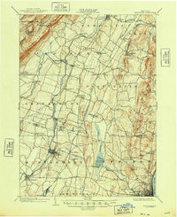
1903 Map of Newburg
USGS Topo · Published 1903About this map
Shawangunk Mountains rise in the northwest corner of this 1903 survey, overlooking a valley dominated by the winding path of the Wallkill River. The landscape reflects a bustling early-century economy defined by agricultural hamlets and growing industrial centers like Walden, where Walden Brook meets the river. Transportation networks are particularly dense, featuring the Central New England RR and the New England RR, alongside early electric transit lines like the Newpaltz and Poughkeepsie Electric. One notable industrial landmark is the Powder Works south of Orange Lake, positioned near the developing outskirts of Newburgh. Small settlements such as Ireland Corners, Ardonia, and St. Andrew dot the landscape between the larger hubs of Newpaltz and Montgomery, illustrating the intricate network of trade and travel before the era of modern highways.
Find a feature on this map
75 named features on this map. Tap any name to fly to it.
Don’t see what you’re looking for? This feature index may not catch every label — zoom into the map to look around manually.
Map Details
Editions of this 1903 Newburg Map
10 editions found
1903 edition
16.6 x 20.1 inches
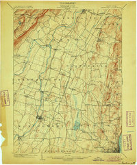
1906 edition
16.6 x 20.1 inches
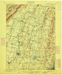
1908 edition
16.6 x 20.1 inches
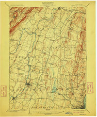
1910 edition
16.6 x 20.1 inches
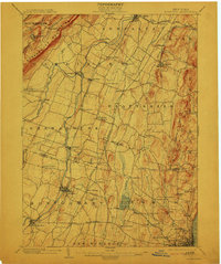
1913 edition
16.6 x 19.9 inches
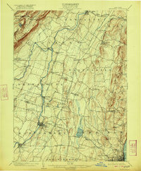
1922 edition
16.4 x 19.8 inches
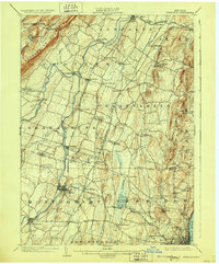
1928 edition
16.6 x 20.1 inches
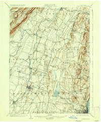
1936 edition
16.6 x 20.1 inches
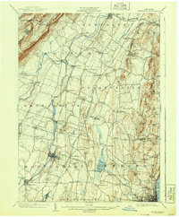
1943 edition
16.6 x 20.1 inches
1948 edition
17.1 x 20.9 inches
Other maps of this area

1892 · West Point
USGS Topo · 1:62,500

1893 · Poughkeepsie
USGS Topo · 1:62,500

1894 · West Point
USGS Topo · 1:62,500

1894 · Poughkeepsie
USGS Topo · 1:62,500

1898 · Rhinebeck
USGS Topo · 1:62,500

1899 · West Point
USGS Topo · 1:62,500

1901 · West Point
USGS Topo · 1:62,500

1901 · Rosendale
USGS Topo · 1:62,500

1902 · Schunemunk
USGS Topo · 1:62,500

1903 · Poughkeepsie
USGS Topo · 1:62,500