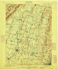
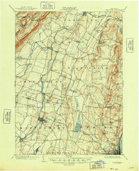
1903 Map of Newburg
USGS Topo · Published 1908About this map
The Shawangunk Mountains dominate the western horizon of this survey, rising sharply above the fertile valleys of the Wallkill River and Shawangunk Kill. At the start of the twentieth century, the region's geography is defined by a mix of highland recreation near Minnewaska Lake and the industrial activity of the lowland plains. To the southeast, near the banks of the Hudson River, the landscape shows concentrated development around a Powder Works and the emerging suburbs of the river cities.
Find a feature on this map
83 named features on this map. Tap any name to fly to it.
Don’t see what you’re looking for? This feature index may not catch every label — zoom into the map to look around manually.
Map Details
Editions of this 1903 Newburg Map
10 editions found

1903 edition
16.6 x 20.1 inches
1906 edition
16.6 x 20.1 inches
1908 edition
16.6 x 20.1 inches
1910 edition
16.6 x 20.1 inches
1913 edition
16.6 x 19.9 inches
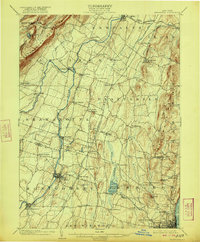
1922 edition
16.4 x 19.8 inches
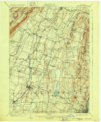
1928 edition
16.6 x 20.1 inches
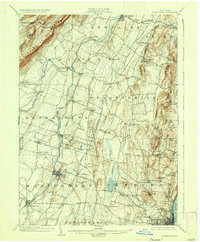
1936 edition
16.6 x 20.1 inches
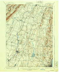
1943 edition
16.6 x 20.1 inches
1948 edition
17.1 x 20.9 inches
Other maps of this area

1892 · West Point
USGS Topo · 1:62,500

1893 · Poughkeepsie
USGS Topo · 1:62,500

1894 · West Point
USGS Topo · 1:62,500

1894 · Poughkeepsie
USGS Topo · 1:62,500

1898 · Rhinebeck
USGS Topo · 1:62,500

1899 · West Point
USGS Topo · 1:62,500

1901 · West Point
USGS Topo · 1:62,500

1901 · Rosendale
USGS Topo · 1:62,500

1902 · Schunemunk
USGS Topo · 1:62,500

1903 · Poughkeepsie
USGS Topo · 1:62,500