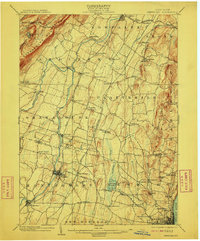
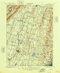
1903 Map of Newburg
USGS Topo · Published 1910About this map
The Shawangunk Mountains rise sharply in the northwest corner of this turn-of-the-century landscape, sheltering Lake Minnewaska and the headwaters of Peters Kill. Below these heights, the Wallkill River and its tributary, the Shawangunk Kill, snake through a fertile valley defined by a dense network of hamlets and rural post offices. This era of transportation is clearly visible through the numerous rail lines crossing the terrain, including the Wallkill Valley Branch and the Central New England R.R., which connected agricultural hubs like Gardiner and Modena. To the southeast, industrial markers appear near the Hudson River fringe, most notably the Powder Works located south of Orange Lake. The map reveals a highly fragmented settlement pattern where local life centered on small junctions such as Ireland Corners, St. Andrew, and Clintondale, often situated at the crossings of local creeks like Tin Brook and Quassaic Creek.
Find a feature on this map
82 named features on this map. Tap any name to fly to it.
Don’t see what you’re looking for? This feature index may not catch every label — zoom into the map to look around manually.
Map Details
Editions of this 1903 Newburg Map
10 editions found

1903 edition
16.6 x 20.1 inches
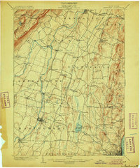
1906 edition
16.6 x 20.1 inches
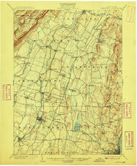
1908 edition
16.6 x 20.1 inches
1910 edition
16.6 x 20.1 inches
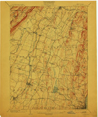
1913 edition
16.6 x 19.9 inches
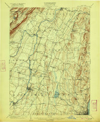
1922 edition
16.4 x 19.8 inches
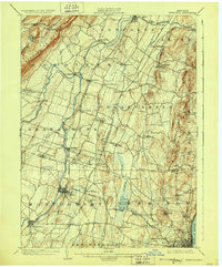
1928 edition
16.6 x 20.1 inches
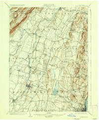
1936 edition
16.6 x 20.1 inches
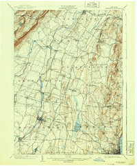
1943 edition
16.6 x 20.1 inches
1948 edition
17.1 x 20.9 inches
Other maps of this area

1892 · West Point
USGS Topo · 1:62,500

1893 · Poughkeepsie
USGS Topo · 1:62,500

1894 · West Point
USGS Topo · 1:62,500

1894 · Poughkeepsie
USGS Topo · 1:62,500

1898 · Rhinebeck
USGS Topo · 1:62,500

1899 · West Point
USGS Topo · 1:62,500

1901 · West Point
USGS Topo · 1:62,500

1901 · Rosendale
USGS Topo · 1:62,500

1902 · Schunemunk
USGS Topo · 1:62,500

1903 · Poughkeepsie
USGS Topo · 1:62,500