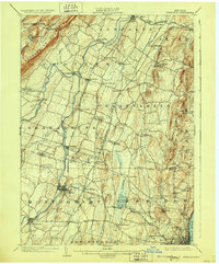
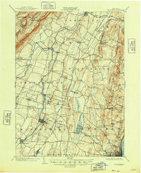
1903 Map of Newburgh
USGS Topo · Published 1928About this map
The Shawangunk Mountains anchor the western edge of this landscape, rising above a valley defined by the winding Wallkill River. This early twentieth-century survey reveals a corridor of agriculture and transit, where the Wallkill Valley R.R. connects thriving village centers like Walden and Wallkill. Further east, the Central New England R.R. bisects the plateau, serving hamlets such as Modena, Clintondale, and Plattekill.
Find a feature on this map
74 named features on this map. Tap any name to fly to it.
Don’t see what you’re looking for? This feature index may not catch every label — zoom into the map to look around manually.
Map Details
Editions of this 1903 Newburgh Map
10 editions found

1903 edition
16.6 x 20.1 inches
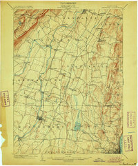
1906 edition
16.6 x 20.1 inches
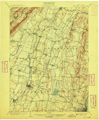
1908 edition
16.6 x 20.1 inches
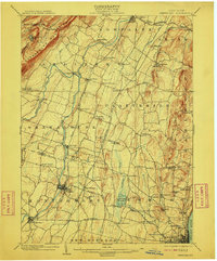
1910 edition
16.6 x 20.1 inches
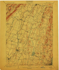
1913 edition
16.6 x 19.9 inches
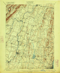
1922 edition
16.4 x 19.8 inches
1928 edition
16.6 x 20.1 inches
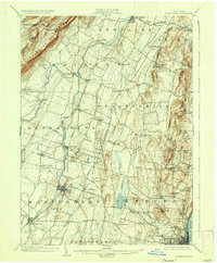
1936 edition
16.6 x 20.1 inches
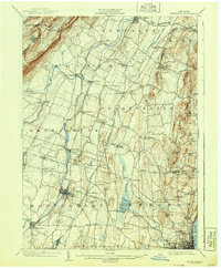
1943 edition
16.6 x 20.1 inches
1948 edition
17.1 x 20.9 inches
Other maps of this area

1892 · West Point
USGS Topo · 1:62,500

1893 · Poughkeepsie
USGS Topo · 1:62,500

1894 · West Point
USGS Topo · 1:62,500

1894 · Poughkeepsie
USGS Topo · 1:62,500

1898 · Rhinebeck
USGS Topo · 1:62,500

1899 · West Point
USGS Topo · 1:62,500

1901 · West Point
USGS Topo · 1:62,500

1901 · Rosendale
USGS Topo · 1:62,500

1902 · Schunemunk
USGS Topo · 1:62,500

1903 · Poughkeepsie
USGS Topo · 1:62,500