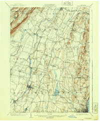
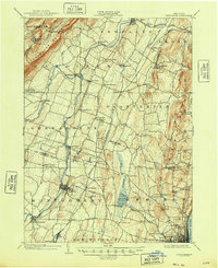
1903 Map of Newburgh
USGS Topo · Published 1943About this map
The Shawangunk Mountains and the Marlboro Mountains frame a busy agricultural and industrial corridor at the turn of the twentieth century. The Wallkill River flows northward through the heart of the region, powering the development of settlements like Walden and Wallkill. Near the city of Newburgh on the Hudson River, the presence of the Powder Works and the Newburgh Electric R. R. reflects a landscape in transition toward early industrialization. Further inland, the map captures a network of small farming hamlets and family-named localities such as Clintondale, Ardonia, and Coldenham. This survey is particularly notable for its detailed tracing of numerous railroads, including the Wallkill Valley R. R. and the New York Ontario and Western R. R., which were vital to the movement of dairy and goods from the Shawangunk Valley to urban markets.
Find a feature on this map
87 named features on this map. Tap any name to fly to it.
Don’t see what you’re looking for? This feature index may not catch every label — zoom into the map to look around manually.
Map Details
Editions of this 1903 Newburgh Map
10 editions found

1903 edition
16.6 x 20.1 inches
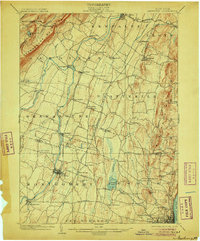
1906 edition
16.6 x 20.1 inches
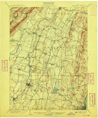
1908 edition
16.6 x 20.1 inches
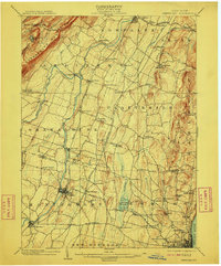
1910 edition
16.6 x 20.1 inches
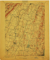
1913 edition
16.6 x 19.9 inches
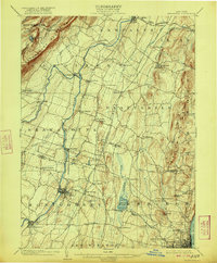
1922 edition
16.4 x 19.8 inches
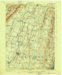
1928 edition
16.6 x 20.1 inches
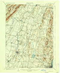
1936 edition
16.6 x 20.1 inches
1943 edition
16.6 x 20.1 inches
1948 edition
17.1 x 20.9 inches
Other maps of this area

1892 · West Point
USGS Topo · 1:62,500

1893 · Poughkeepsie
USGS Topo · 1:62,500

1894 · West Point
USGS Topo · 1:62,500

1894 · Poughkeepsie
USGS Topo · 1:62,500

1898 · Rhinebeck
USGS Topo · 1:62,500

1899 · West Point
USGS Topo · 1:62,500

1901 · West Point
USGS Topo · 1:62,500

1901 · Rosendale
USGS Topo · 1:62,500

1902 · Schunemunk
USGS Topo · 1:62,500

1903 · Poughkeepsie
USGS Topo · 1:62,500