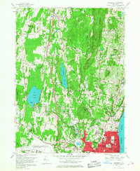
1957 Map of Newburgh
USGS Topo · Published 1968About this map
Newburgh and New Windsor dominate the southeastern riverfront in this mid-century survey, showing the urban transition from the Hudson River banks toward the rising slopes of Cronomer Hill. The landscape is a mix of established city blocks, institutional grounds like Our Lady of Hope Seminary, and recreation sites including the Powelton Country Club and the Pine Pt Casino on the shores of Orange Lake.
Find a feature on this map
60 named features on this map. Tap any name to fly to it.
Don’t see what you’re looking for? This feature index may not catch every label — zoom into the map to look around manually.
Map Details
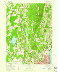
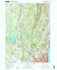
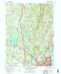
Editions of this 1957 Newburgh Map
4 editions found
Other maps of this area

1892 · West Point
USGS Topo · 1:62,500

1893 · Poughkeepsie
USGS Topo · 1:62,500

1894 · West Point
USGS Topo · 1:62,500

1894 · Poughkeepsie
USGS Topo · 1:62,500

1899 · West Point
USGS Topo · 1:62,500

1901 · West Point
USGS Topo · 1:62,500

1902 · Schunemunk
USGS Topo · 1:62,500

1903 · Poughkeepsie
USGS Topo · 1:62,500

1903 · Newburg
USGS Topo · 1:62,500

1930 · Schunemunk
USGS Topo · 1:48,000