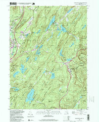
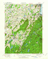
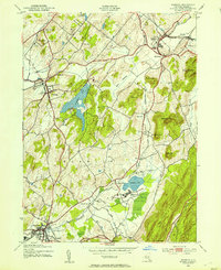
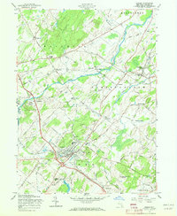
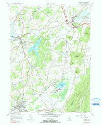
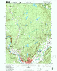
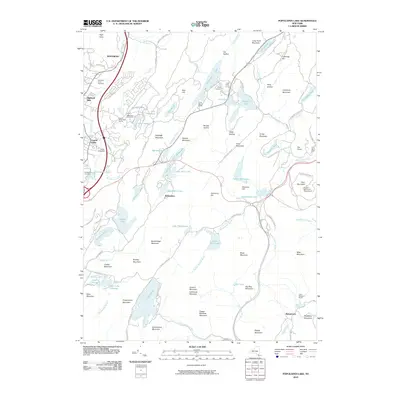
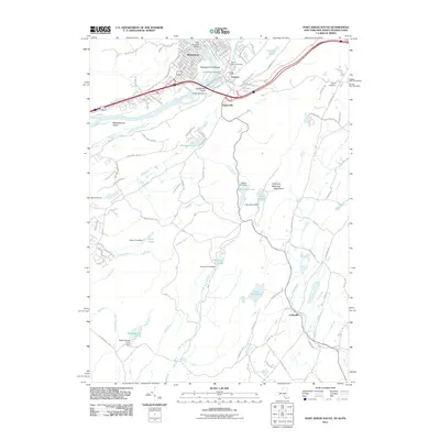
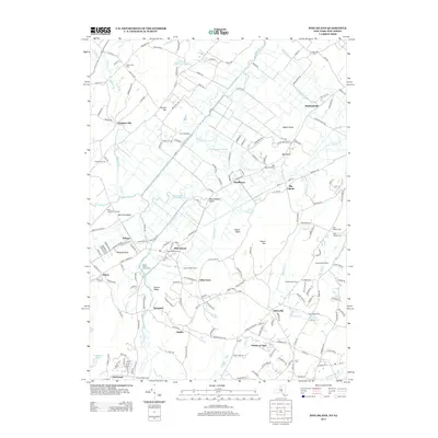
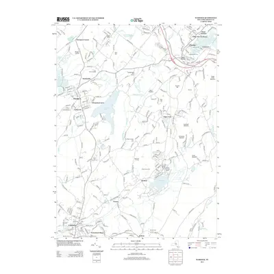
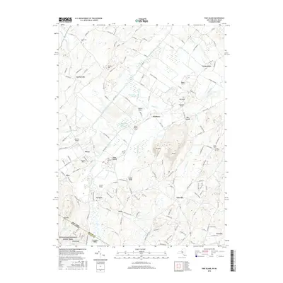
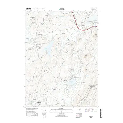
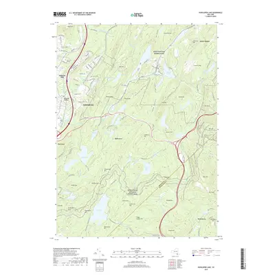
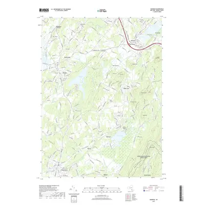
1994 Map of Popolopen Lake
USGS Topo · Published 1999About this map
US Military Academy West Point lands dominate the northern reaches of this terrain, where military training grounds like Camp Buckner and Camp Natural Bridge sit among the high ridges. The landscape is a complex network of conservation and education, with Harriman State Park and Bear Mountain State Park providing a backdrop for legacy trails including the Appalachian Trail and the Long Path. This area is defined by its deep basins and rocky summits, from Popolopen Lake to the heights of Bear Mtn.
Find a feature on this map
99 named features on this map. Tap any name to fly to it.
Don’t see what you’re looking for? This feature index may not catch every label — zoom into the map to look around manually.
Map Details
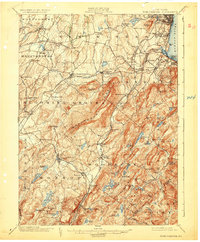
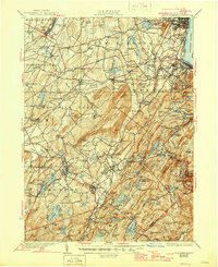
Editions of this 1994 Popolopen Lake Map
This is the sole edition of this map. No revisions or reprints were ever made.
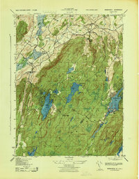
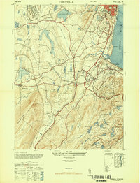
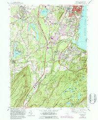
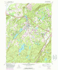
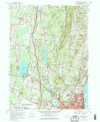
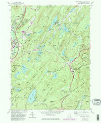
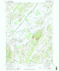
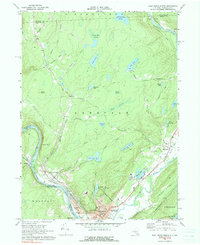
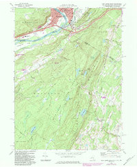
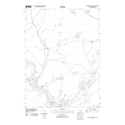
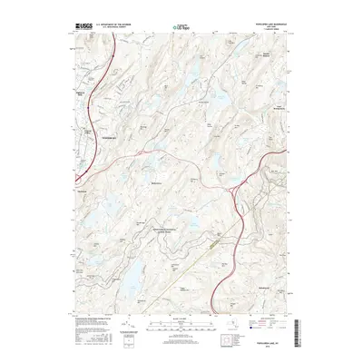
Historical Maps of Stony Point Through Time
75 maps found
1902 Schunemunk
Orange County, NY
1906 Goshen
Orange County, NY
1908 Goshen
Orange County, NY
1930 Schunemunk
Orange County, NY
1935 Schunemunk
Orange County, NY

1938 Goshen
Orange County, NY

1942 Goshen
Orange County, NY
1942 Pine Island
Orange County, NY
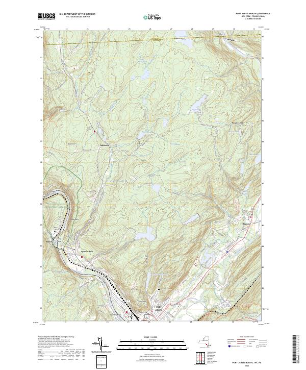
1942 Port Jervis North
Orange County, NY

1943 Goshen
Orange County, NY

1943 Pinebush
Orange County, NY

1943 Pine Island
Orange County, NY

1943 Port Jervis North
Orange County, NY
1943 Warwick
Orange County, NY
1943 Wawayanda
Orange County, NY

1946 Goshen
Orange County, NY

1946 Popolopen Lake
Orange County, NY
1947 Cornwall
Orange County, NY

1947 Newburgh North
Orange County, NY

1947 Popolopen Lake
Orange County, NY

1949 Port Jervis South
Orange County, NY

1953 Port Jervis South
Orange County, NY
1957 Cornwall
Orange County, NY
1957 Goshen
Orange County, NY
1957 Monroe
Orange County, NY
1957 Newburgh
Orange County, NY
1957 Popolopen Lake
Orange County, NY
1957 Warwick
Orange County, NY
1969 Pine Island
Orange County, NY
1969 Port Jervis North
Orange County, NY
1969 Port Jervis South
Orange County, NY

1992 Port Jervis North
Orange County, NY
1994 Popolopen Lake
Orange County, NY

1995 Port Jervis South
Orange County, NY
1997 Port Jervis North
Orange County, NY
2010 Goshen
Orange County, NY
2010 Monroe
Orange County, NY
2010 Newburgh
Orange County, NY
2010 Popolopen Lake
Orange County, NY
2010 Port Jervis North
Orange County, NY
2010 Warwick
Orange County, NY
2011 Pine Island
Orange County, NY
2011 Port Jervis South
Orange County, NY
2013 Goshen
Orange County, NY
2013 Monroe
Orange County, NY
2013 Newburgh
Orange County, NY
2013 Pine Island
Orange County, NY
2013 Popolopen Lake
Orange County, NY
2013 Port Jervis North
Orange County, NY
2013 Port Jervis South
Orange County, NY
2013 Warwick
Orange County, NY
2016 Goshen
Orange County, NY
2016 Monroe
Orange County, NY
2016 Newburgh
Orange County, NY
2016 Pine Island
Orange County, NY
2016 Popolopen Lake
Orange County, NY
2016 Port Jervis North
Orange County, NY
2016 Port Jervis South
Orange County, NY
2016 Warwick
Orange County, NY
2019 Goshen
Orange County, NY
2019 Monroe
Orange County, NY
2019 Newburgh
Orange County, NY
2019 Pine Island
Orange County, NY
2019 Popolopen Lake
Orange County, NY
2019 Port Jervis North
Orange County, NY
2019 Port Jervis South
Orange County, NY
2019 Warwick
Orange County, NY

2023 Goshen
Orange County, NY

2023 Monroe
Orange County, NY

2023 Newburgh
Orange County, NY

2023 Pine Island
Orange County, NY

2023 Popolopen Lake
Orange County, NY
2023 Port Jervis North
Orange County, NY
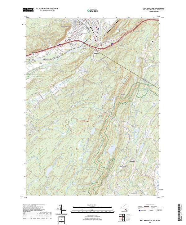
2023 Port Jervis South
Orange County, NY

2023 Warwick
Orange County, NY