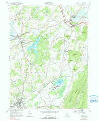
1957 Map of Warwick
USGS Topo · Published 1990About this map
The agricultural and institutional landscape of southern Orange County is anchored by the village of Warwick, shown here in the late 1950s. The region is defined by a series of distinct valleys and ridges, where the Lehigh and Hudson River RR and Erie RR trace the low ground between Bellvale Mountain and the Goshen Hills. A significant landmark of the era is the expansive State Training School for Boys situated near Wickham Lake, which reflects the mid-century presence of state institutions in the rural New York countryside.
Find a feature on this map
64 named features on this map. Tap any name to fly to it.
Don’t see what you’re looking for? This feature index may not catch every label — zoom into the map to look around manually.
Map Details
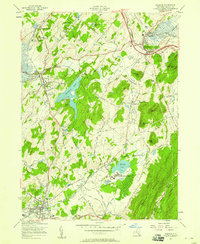
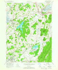
Editions of this 1957 Warwick Map
3 editions found
Other maps of this area

1891 · Greenwood Lake
USGS Topo · 1:62,500

1891 · Ramapo
USGS Topo · 1:62,500

1893 · Greenwood Lake
USGS Topo · 1:62,500

1893 · Ramapo
USGS Topo · 1:62,500

1902 · Schunemunk
USGS Topo · 1:62,500

1903 · Greenwood Lake
USGS Topo · 1:62,500

1906 · Goshen
USGS Topo · 1:62,500

1908 · Goshen
USGS Topo · 1:62,500

1910 · Ramapo
USGS Topo · 1:62,500

1910 · Greenwood Lake
USGS Topo · 1:62,500