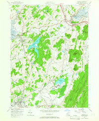
1957 Map of Warwick
USGS Topo · Published 1966About this map
The agricultural valleys and forested ridges of southern Orange County come into sharp focus in the late 1950s, anchored by the village of Warwick and the industrial hub of Chester. The landscape is dominated by the prominent peaks of Bellvale Mountain and Goose Pond Mtn, with the Appalachian Trail winding across the southern high ground. Transport and industry are evident through the paths of the Erie RR and the Lehigh and Hudson River RR, which served the local black dirt farming regions and quarries like Duchess Quarry.
Find a feature on this map
65 named features on this map. Tap any name to fly to it.
Don’t see what you’re looking for? This feature index may not catch every label — zoom into the map to look around manually.
Map Details
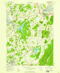
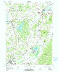
Editions of this 1957 Warwick Map
3 editions found
Other maps of this area

1891 · Greenwood Lake
USGS Topo · 1:62,500

1891 · Ramapo
USGS Topo · 1:62,500

1893 · Greenwood Lake
USGS Topo · 1:62,500

1893 · Ramapo
USGS Topo · 1:62,500

1902 · Schunemunk
USGS Topo · 1:62,500

1903 · Greenwood Lake
USGS Topo · 1:62,500

1906 · Goshen
USGS Topo · 1:62,500

1908 · Goshen
USGS Topo · 1:62,500

1910 · Ramapo
USGS Topo · 1:62,500

1910 · Greenwood Lake
USGS Topo · 1:62,500