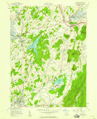
1957 Map of Warwick
USGS Topo · Published 1958About this map
Warwick and its surrounding dairy and farming country are captured here following a mid-century culture revision by the Geological Survey. The landscape is defined by the valley of Wawayanda Creek and the notable Black Creek Meadows, framed by the elevations of Goose Pond Mtn and Bellvale Mountain. This era shows the local transportation network at its peak, with both the Erie RR and the Lehigh and Hudson River RR threading through settlements like Chester and Florida.
Find a feature on this map
67 named features on this map. Tap any name to fly to it.
Don’t see what you’re looking for? This feature index may not catch every label — zoom into the map to look around manually.
Map Details
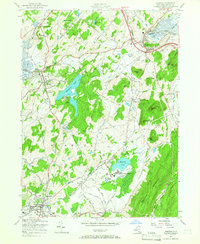
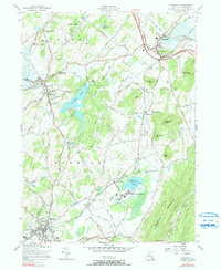
Editions of this 1957 Warwick Map
3 editions found
Other maps of this area

1891 · Greenwood Lake
USGS Topo · 1:62,500

1891 · Ramapo
USGS Topo · 1:62,500

1893 · Greenwood Lake
USGS Topo · 1:62,500

1893 · Ramapo
USGS Topo · 1:62,500

1902 · Schunemunk
USGS Topo · 1:62,500

1903 · Greenwood Lake
USGS Topo · 1:62,500

1906 · Goshen
USGS Topo · 1:62,500

1908 · Goshen
USGS Topo · 1:62,500

1910 · Ramapo
USGS Topo · 1:62,500

1910 · Greenwood Lake
USGS Topo · 1:62,500