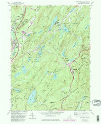
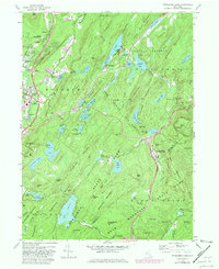
1957 Map of Popolopen Lake
USGS Topo · Published 1981About this map
Woodbury and Highland Mills anchor the northwestern portion of this mid-century survey, a region defined by the dramatic meeting of settlement and state parklands. Significant institutional footprints are visible, including the southern reaches of the U.S. Military Academy West Point and the Columbia University Arden House. The landscape is a network of ridges and water bodies, with the Appalachian Trail winding through Harriman State Park and Bear Mountain State Park.
Find a feature on this map
118 named features on this map. Tap any name to fly to it.
Don’t see what you’re looking for? This feature index may not catch every label — zoom into the map to look around manually.
Map Details
Editions of this 1957 Popolopen Lake Map
5 editions found
Other maps of this area

1891 · Ramapo
USGS Topo · 1:62,500

1892 · West Point
USGS Topo · 1:62,500

1892 · Tarrytown
USGS Topo · 1:62,500

1893 · Tarrytown
USGS Topo · 1:62,500

1893 · Ramapo
USGS Topo · 1:62,500

1894 · West Point
USGS Topo · 1:62,500

1899 · West Point
USGS Topo · 1:62,500

1901 · West Point
USGS Topo · 1:62,500

1902 · Tarrytown
USGS Topo · 1:62,500

1902 · Schunemunk
USGS Topo · 1:62,500