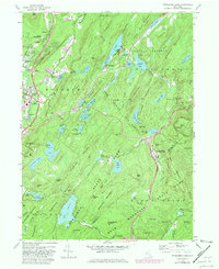
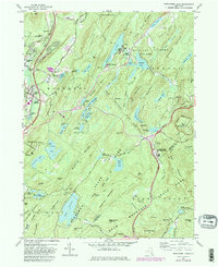
1957 Map of Popolopen Lake
USGS Topo · Published 1981About this map
The West Point Military Academy grounds and the expansive highlands of the Hudson Valley define this landscape, where rugged terrain meets strategic institutional land use. Settled pockets like Woodbury, Highland Mills, and Central Valley occupy the western corridor along the Albany Post Road, supported by local institutions like the Central Valley School and the Quaker Meetinghouse. The map documents a transition from these established villages into the dense forest and water-rich wilderness of Bear Mountain State Park and Harriman State Park.
Find a feature on this map
117 named features on this map. Tap any name to fly to it.
Don’t see what you’re looking for? This feature index may not catch every label — zoom into the map to look around manually.
Map Details
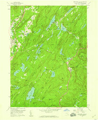
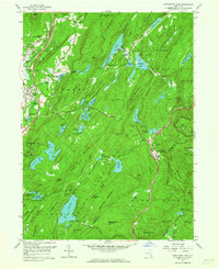
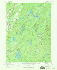
Editions of this 1957 Popolopen Lake Map
5 editions found
Other maps of this area

1891 · Ramapo
USGS Topo · 1:62,500

1892 · West Point
USGS Topo · 1:62,500

1892 · Tarrytown
USGS Topo · 1:62,500

1893 · Tarrytown
USGS Topo · 1:62,500

1893 · Ramapo
USGS Topo · 1:62,500

1894 · West Point
USGS Topo · 1:62,500

1899 · West Point
USGS Topo · 1:62,500

1901 · West Point
USGS Topo · 1:62,500

1902 · Tarrytown
USGS Topo · 1:62,500

1902 · Schunemunk
USGS Topo · 1:62,500