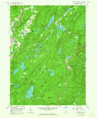
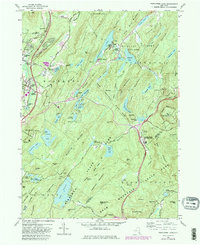
1957 Map of Popolopen Lake
USGS Topo · Published 1964About this map
The U S Military Academy West Point grounds dominate the northeastern portion of this mid-century topographic record, bordering the expansive Palisades Interstate Park. The landscape is characterized by a dense network of high peaks and numerous upland water bodies, including Popolopen Lake, Lake Frederick, and Lake Tiorati. Transportation routes of the era are clearly defined, featuring the Palisades Interstate Parkway, Seven Lakes Drive, and the Erie R R corridor which services the communities of Highland Mills and Central Valley. Genealogy and local history researchers will find valuable details in the location of the Quaker Meetinghouse and the Cemetery of the Highlands, alongside mid-century institutions like the Columbia Univ Arden House. The map also captures specialized land uses such as the Cranberry Bogs and the Perkins Memorial Observatory atop Bear Mtn.
Find a feature on this map
103 named features on this map. Tap any name to fly to it.
Don’t see what you’re looking for? This feature index may not catch every label — zoom into the map to look around manually.
Map Details
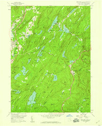
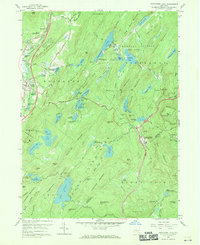
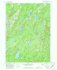
Editions of this 1957 Popolopen Lake Map
5 editions found
Other maps of this area

1891 · Ramapo
USGS Topo · 1:62,500

1892 · West Point
USGS Topo · 1:62,500

1892 · Tarrytown
USGS Topo · 1:62,500

1893 · Tarrytown
USGS Topo · 1:62,500

1893 · Ramapo
USGS Topo · 1:62,500

1894 · West Point
USGS Topo · 1:62,500

1899 · West Point
USGS Topo · 1:62,500

1901 · West Point
USGS Topo · 1:62,500

1902 · Tarrytown
USGS Topo · 1:62,500

1902 · Schunemunk
USGS Topo · 1:62,500