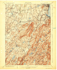
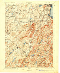
1902 Map of Schunemunk
USGS Topo · Published 1931About this map
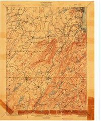
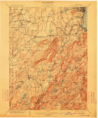
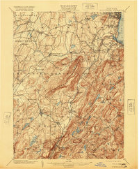
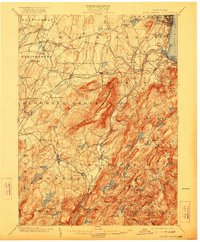
Schunemunk Mountain dominates this portion of Orange County, serving as a dramatic physical barrier between the Erie Railroad corridor to the west and the rolling highlands leading toward the Hudson River. In the early 1900s, the region was a complex network of industrial and transport infrastructure, featuring the Catskill Aqueduquct and numerous rail lines like the Central New England RR and West Shore RR. Settlements like Monroe, Washingtonville, and Cornwall on the Hudson served as local hubs, while the southern reaches remained largely undeveloped forest land. Genealogists and industrial historians will find interest in the documented locations of Bull Mine and the Forest of Dean, alongside local landmarks such as St. Lukes Cemetery in New Windsor. The map reveals a transition from the riverfront shipping at Cornwall Landing to the inland agricultural and mining communities.
Find a feature on this map
108 named features on this map. Tap any name to fly to it.
Don’t see what you’re looking for? This feature index may not catch every label — zoom into the map to look around manually.
Map Details
Editions of this 1902 Schunemunk Map
10 editions found

Other maps of this area

1891 · Greenwood Lake
USGS Topo · 1:62,500

1891 · Ramapo
USGS Topo · 1:62,500

1892 · West Point
USGS Topo · 1:62,500

1892 · Tarrytown
USGS Topo · 1:62,500

1893 · Greenwood Lake
USGS Topo · 1:62,500

1893 · Tarrytown
USGS Topo · 1:62,500

1893 · Ramapo
USGS Topo · 1:62,500

1893 · Poughkeepsie
USGS Topo · 1:62,500

1894 · West Point
USGS Topo · 1:62,500

1894 · Poughkeepsie
USGS Topo · 1:62,500