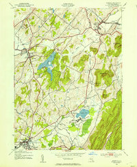
1943 Map of Warwick
USGS Topo · Published 1954About this map
The agrarian and institutional landscape of Orange County is captured here just as WWII aerial photography modernized topographic mapping. Major corridors like the Lehigh and Hudson River railway anchor the valley, connecting settlements like Florida and Warwick. Notable institutional sites are prominent, including the County Poor Farm and the sprawling State Training School for Boys near Wickham Lake. The map reveals a transition between the valley floors and the steep terrain of Bellvale Mountain and Sugarloaf Mtn. Local infrastructure is well-defined, showing the Warwick-Wickham Lake Airport and educational landmarks like the Chester Academy. This period shows the region before major suburban expansion, when places like Mapes Corners and Randellville remained distinct rural clusters surrounded by dairy-rich meadows and orchards.
Find a feature on this map
45 named features on this map. Tap any name to fly to it.
Don’t see what you’re looking for? This feature index may not catch every label — zoom into the map to look around manually.
Map Details
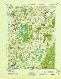
Editions of this 1943 Warwick Map
2 editions found
Other maps of this area

1891 · Greenwood Lake
USGS Topo · 1:62,500

1891 · Ramapo
USGS Topo · 1:62,500

1893 · Greenwood Lake
USGS Topo · 1:62,500

1893 · Ramapo
USGS Topo · 1:62,500

1902 · Schunemunk
USGS Topo · 1:62,500

1903 · Greenwood Lake
USGS Topo · 1:62,500

1906 · Goshen
USGS Topo · 1:62,500

1908 · Goshen
USGS Topo · 1:62,500

1910 · Ramapo
USGS Topo · 1:62,500

1910 · Greenwood Lake
USGS Topo · 1:62,500