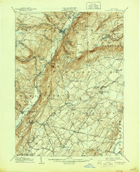
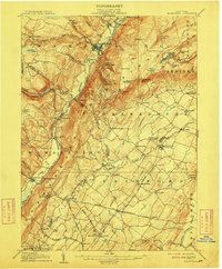
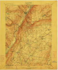
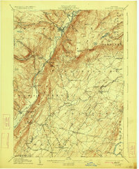
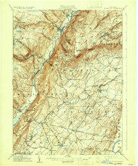
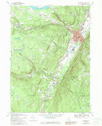
1906 Map of Ellenville
USGS Topo · Published 1944About this map
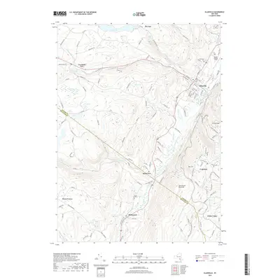
Ellenville and the Shawangunk mountains define this early 20th-century landscape, where the transition from canal-based transport to regional rail is clearly marked. The Mamakatting Canal is already noted as out of service, its path through the valley largely superseded by the New York Ontario and Western RR which connects settlements like Summitville and Wurtsboro. This corridor represents a vital industrial artery of the era, linking the upland plateau with the valley floors.
Find a feature on this map
100 named features on this map. Tap any name to fly to it.
Don’t see what you’re looking for? This feature index may not catch every label — zoom into the map to look around manually.
Map Details
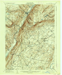
Editions of this 1906 Ellenville Map
7 editions found

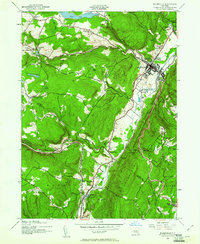
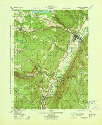
Historical Maps of Wallkill Through Time
10 maps found

1904 Ellenville
Ulster County, NY
1906 Ellenville
Ulster County, NY
1942 Ellenville
Ulster County, NY
1943 Ellenville
Ulster County, NY
1969 Ellenville
Ulster County, NY
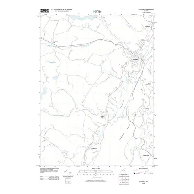
2010 Ellenville
Ulster County, NY
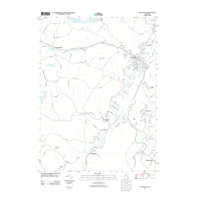
2013 Ellenville
Ulster County, NY
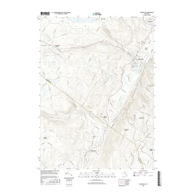
2016 Ellenville
Ulster County, NY
2019 Ellenville
Ulster County, NY

2023 Ellenville
Ulster County, NY