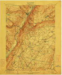
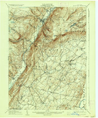
1906 Map of Ellenville
USGS Topo · Published 1912About this map
Ellenville and the surrounding Shawangunk Ridge dominate this 1906 survey, showcasing a landscape defined by industrial progress and natural landmarks. The New York Ontario and Western RR runs through the valley, passing through settlements like Phillipsport and Summitville, while an abandoned section of the line reflects shifting transportation needs of the early twentieth century. Notable local institutions, including the State Reformatory near Napanoch, are clearly marked alongside spiritual centers like New Prospect Church.
Find a feature on this map
93 named features on this map. Tap any name to fly to it.
Don’t see what you’re looking for? This feature index may not catch every label — zoom into the map to look around manually.
Map Details
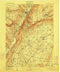
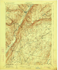
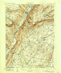
Editions of this 1906 Ellenville Map
7 editions found
Other maps of this area

1901 · Rosendale
USGS Topo · 1:62,500

1902 · Schunemunk
USGS Topo · 1:62,500

1903 · Newburg
USGS Topo · 1:62,500

1903 · Rosendale
USGS Topo · 1:62,500

1903 · Slide Mountain
USGS Topo · 1:62,500

1904 · Ellenville
USGS Topo · 1:62,500

1905 · Slide Mountain
USGS Topo · 1:62,500

1906 · Ellenville
USGS Topo · 1:62,500

1906 · Port Jervis
USGS Topo · 1:62,500

1906 · Goshen
USGS Topo · 1:62,500