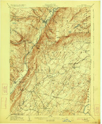
1906 Map of Ellenville
USGS Topo · Published 1923About this map
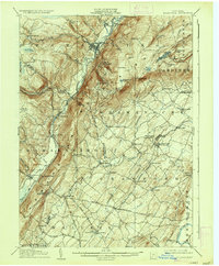
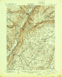
The Shawangunk Mountains dominate this early twentieth-century survey, creating a dramatic vertical divide between the valley floor and the plateau summits. In the north, Ellenville serves as a primary hub where the Sandburg Creek meets the mountainside, just south of the State Reformatory at Napanoch. The transportation corridor is clearly defined by the New York Ontario and Western railroad and the Sandburg Creek, which navigate the narrow pass through Phillipsport, Summitville, and Wurtsboro.
Find a feature on this map
95 named features on this map. Tap any name to fly to it.
Don’t see what you’re looking for? This feature index may not catch every label — zoom into the map to look around manually.
Map Details
Editions of this 1906 Ellenville Map
7 editions found
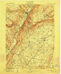
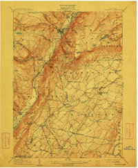
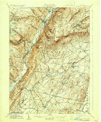
Other maps of this area

1901 · Rosendale
USGS Topo · 1:62,500

1902 · Schunemunk
USGS Topo · 1:62,500

1903 · Newburg
USGS Topo · 1:62,500

1903 · Rosendale
USGS Topo · 1:62,500

1903 · Slide Mountain
USGS Topo · 1:62,500

1904 · Ellenville
USGS Topo · 1:62,500

1905 · Slide Mountain
USGS Topo · 1:62,500

1906 · Ellenville
USGS Topo · 1:62,500

1906 · Port Jervis
USGS Topo · 1:62,500

1906 · Goshen
USGS Topo · 1:62,500