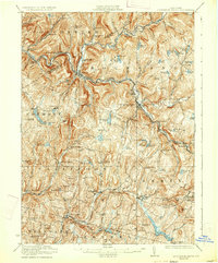
1923 Map of Livingston Manor
USGS Topo · Published 1933About this map
Livingston Manor serves as a central hub in this early 1920s survey, where the New York Ontario and Western RR follows the valleys of the Beaver Kill and Willowemoc Creek. The landscape is a dense network of upland agriculture and specialized chemical industry, evidenced by the Acid Plant near Rockland and a Creosote Plant downstream from the main settlement. Dozens of one-room schoolhouses, such as the Russell School and Fox Mountain School, are scattered across the townships of Callicoon and Rockland, marking the population distribution before the centralization of rural education. To the west, the topography rises toward Mandrake Hill and Baldy, sheltering numerous water bodies like Tennanah Lake and Shandelee Lake that would define the region's character as a destination for outdoor recreation and seasonal retreat. Local commerce and transit are anchored by smaller junctions like Roscoe, Cooks Falls, and Jeffersonville.
Find a feature on this map
83 named features on this map. Tap any name to fly to it.
Don’t see what you’re looking for? This feature index may not catch every label — zoom into the map to look around manually.
Map Details
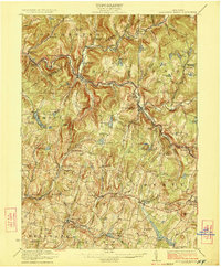
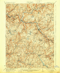
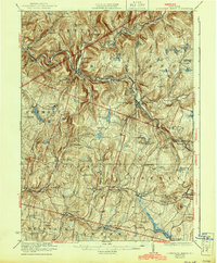
Editions of this 1923 Livingston Manor Map
5 editions found

Other maps of this area

1901 · Margaretville
USGS Topo · 1:62,500

1904 · Margaretville
USGS Topo · 1:62,500

1909 · Monticello
USGS Topo · 1:62,500

1910 · Neversink
USGS Topo · 1:62,500

1911 · Monticello
USGS Topo · 1:62,500

1920 · Long Eddy
USGS Topo · 1:62,500

1920 · Damascus
USGS Topo · 1:62,500

1921 · Long Eddy
USGS Topo · 1:48,000

1921 · Livingston Manor
USGS Topo · 1:62,500

1922 · White Lake
USGS Topo · 1:62,500