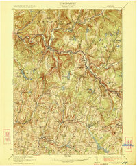
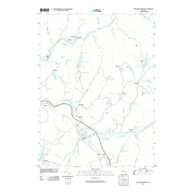
1923 Map of Livingston Manor
USGS Topo · Published 1923About this map
The Beaver Kill and Willowemoc Creek converge in this early 1920s survey, defining the industrial and recreational landscape of northern Sullivan County. The New York Ontario and Western RR serves as the primary corridor for commerce, connecting the major hubs of Livingston Manor and Roscoe. The map highlights a diverse rural economy, where industrial sites like the Acid Plant and Creosote Plant operate alongside established settlements like Jeffersonville and Youngsville.
Find a feature on this map
94 named features on this map. Tap any name to fly to it.
Don’t see what you’re looking for? This feature index may not catch every label — zoom into the map to look around manually.
Map Details
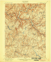
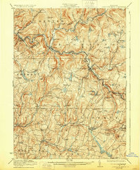
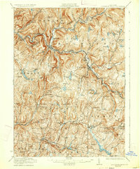
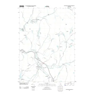
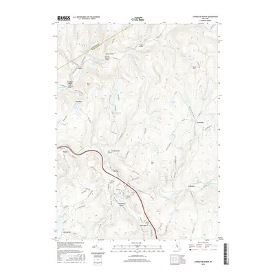
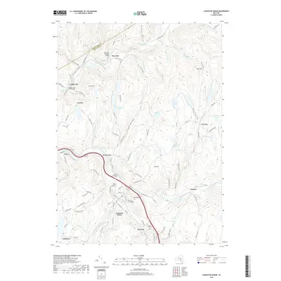
Editions of this 1923 Livingston Manor Map
5 editions found
Historical Maps of Liberty Through Time
9 maps found
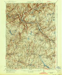
1921 Livingston Manor
Sullivan County, NY
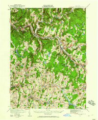
1923 Livingston Manor
Sullivan County, NY
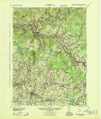
1944 Livingston Manor
Sullivan County, NY
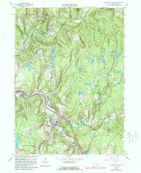
1965 Livingston Manor
Sullivan County, NY
2010 Livingston Manor
Sullivan County, NY
2013 Livingston Manor
Sullivan County, NY
2016 Livingston Manor
Sullivan County, NY
2019 Livingston Manor
Sullivan County, NY

2023 Livingston Manor
Sullivan County, NY