
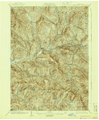
1904 Map of Margaretville
USGS Topo · Published 1904About this map
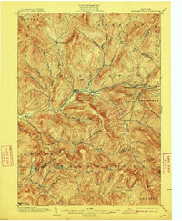
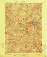
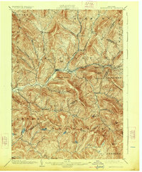
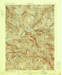
Margaretville and its surrounding mountain communities anchor this 1904 survey, documenting a time when the Ulster and Delaware RR was the primary corridor through these valleys. The rail line follows the Bush Kill and East Branch Delaware River, connecting high-elevation settlements like Fleischmanns and Griffin Corners to Arkville. The map reveals a landscape defined by deep hollows and high peaks, where farming and small-scale industry clustered along watercourses such as Platte Kill and Mill Brook. Genealogists and local historians can locate smaller hamlets and family-named landmarks including Hanley Corner, New Kingston, and Grant Mills. Remote high-country features such as Balsam Lake, Beecher Lake, and the summit of Pakatakan Mountain illustrate the Catskills' early development as a retreat and timber source before the modern era of conservation.
Find a feature on this map
71 named features on this map. Tap any name to fly to it.
Don’t see what you’re looking for? This feature index may not catch every label — zoom into the map to look around manually.
Map Details
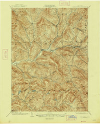
Editions of this 1904 Margaretville Map
7 editions found
Other maps of this area

1900 · Phoenicia
USGS Topo · 1:62,500

1901 · Margaretville
USGS Topo · 1:62,500

1901 · Gilboa
USGS Topo · 1:62,500

1903 · Gilboa
USGS Topo · 1:62,500

1903 · Phoenicia
USGS Topo · 1:62,500

1903 · Slide Mountain
USGS Topo · 1:62,500

1904 · Hobart
USGS Topo · 1:62,500

1905 · Slide Mountain
USGS Topo · 1:62,500

1909 · Delhi
USGS Topo · 1:62,500

1910 · Neversink
USGS Topo · 1:62,500