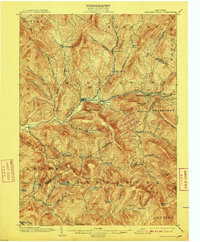
1904 Map of Margaretville
USGS Topo · Published 1909About this map
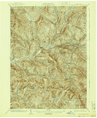
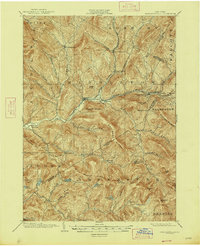
The East Branch Delaware River carves a central path through this turn-of-the-century Catskill landscape, serving as the primary corridor for both commerce and transport. The Ulster and Delaware RR follows the water, connecting critical mountain settlements like Margaretville, Arkville, and Griffin Corners. The dense network of named hollows, including Bragg Hollow and Cold Spring Hollow, reveals a pattern of dispersed upland farming and timber harvesting common to the era. High peaks such as Pakatakan Mountain and Graham Mt loom over the valley floors, where small communities like Halcottsville and New Kingston established themselves near the mouths of these drainages. This survey captures a moment when rail access was transforming remote hamlets into destinations, while numerous family-named landmarks like Hanley Corner and Kelly Corners anchor the map for genealogists tracing local lineages in Delaware Co and Ulster Co.
Find a feature on this map
66 named features on this map. Tap any name to fly to it.
Don’t see what you’re looking for? This feature index may not catch every label — zoom into the map to look around manually.
Map Details
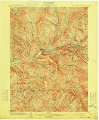
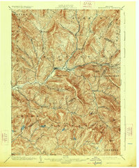
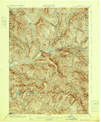
Editions of this 1904 Margaretville Map
7 editions found
Other maps of this area

1900 · Phoenicia
USGS Topo · 1:62,500

1901 · Margaretville
USGS Topo · 1:62,500

1901 · Gilboa
USGS Topo · 1:62,500

1903 · Gilboa
USGS Topo · 1:62,500

1903 · Phoenicia
USGS Topo · 1:62,500

1903 · Slide Mountain
USGS Topo · 1:62,500

1904 · Hobart
USGS Topo · 1:62,500

1904 · Margaretville
USGS Topo · 1:62,500

1905 · Slide Mountain
USGS Topo · 1:62,500

1909 · Delhi
USGS Topo · 1:62,500